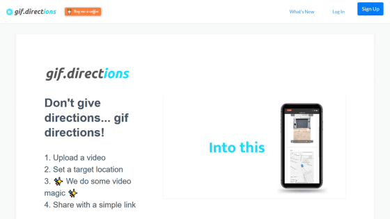
"Google Maps Streetview Player" that allows you to see the route to your destination from the first person viewpoint using Google Street View
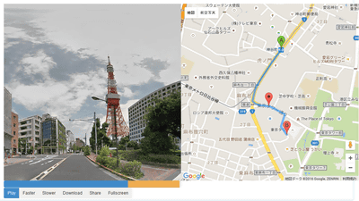
The smartphone map application is convenient for reaching your destination on an unfamiliar land, but there are still things that you arrive at an unlikely place by mistaking the direction to walk out. In such a case it seems useful that the route from the departure point to the destination will be displayed in the first person viewpoint picture obtained from Google Street View "Google Maps Streetview Player"It seems that even with no sense of direction or machine tone, it is possible to move to the destination while comparing the actual landscape and the photo.
You can understand what you can do with actual use by seeing the following movie in one shot.
I tried using "Google Maps Streetview Player" - YouTube
"Google Maps Streetview Player" is available from the following URL.
Google Maps Streetview Player
http://www.brianfolts.com/driver/
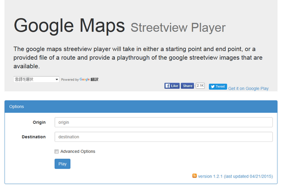
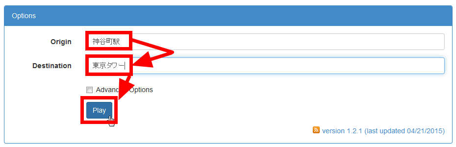
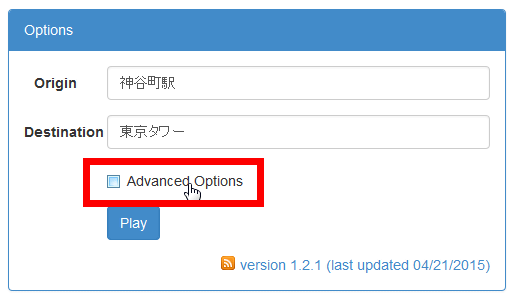
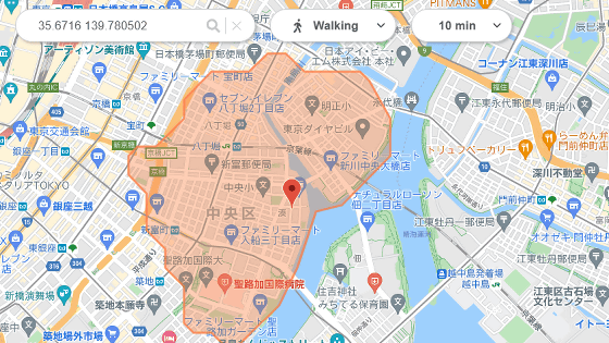
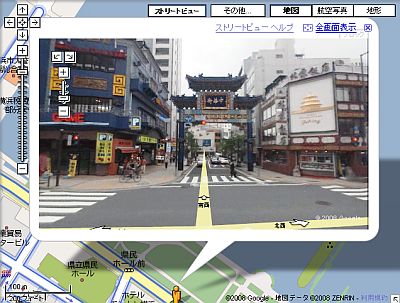
It is easy to use, just enter the departure point in "Origin" on the screen, the destination point in "Destination" and click "Play".
Then it gets the route from the starting point to the destination point from Google Street View and plays it automatically on the screen.
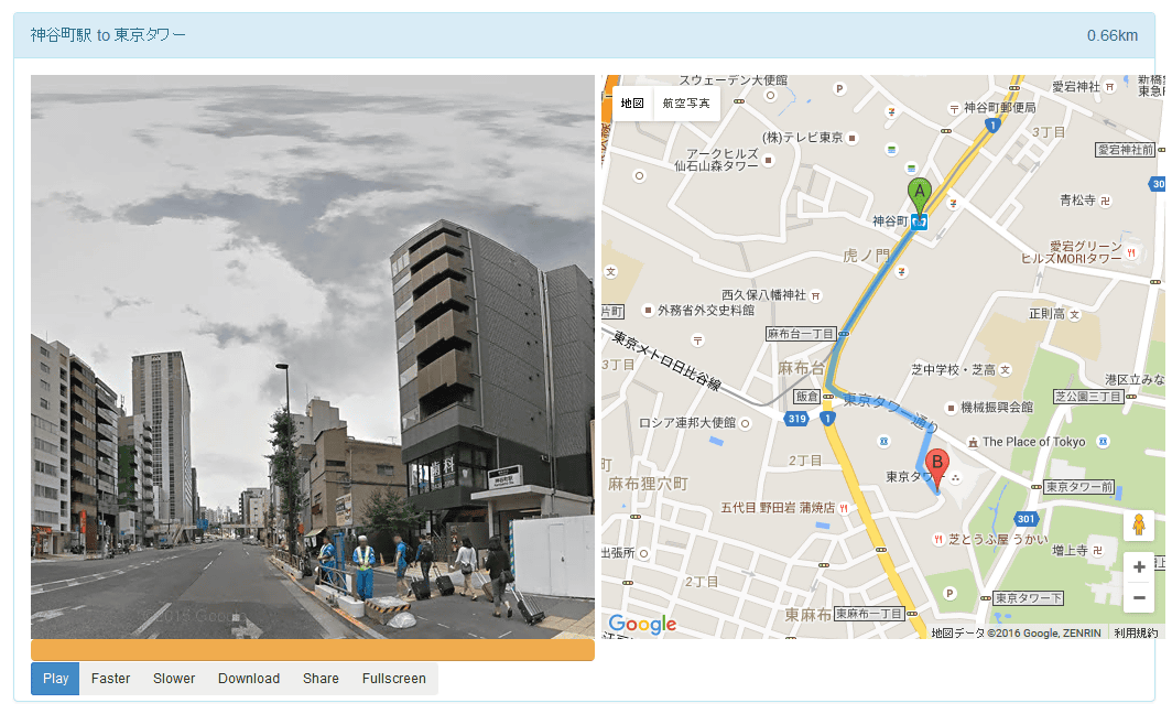
Play / stop can be done by pressing "Play / Pause" button on the screen.
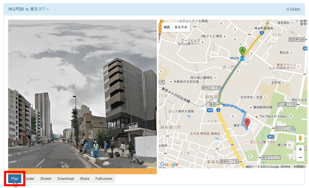
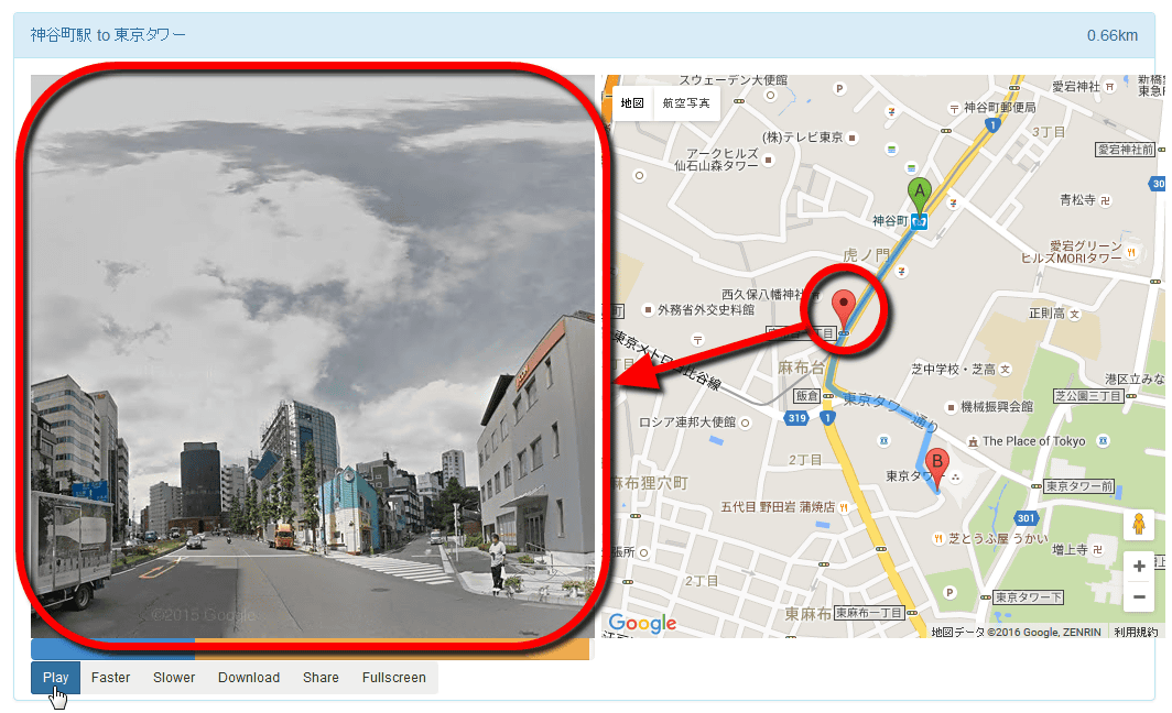
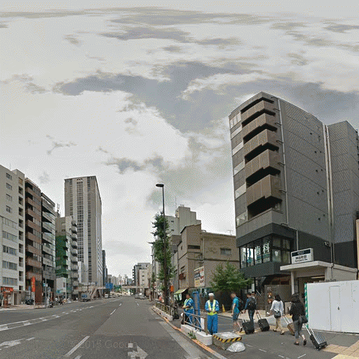
You can see the location of the street view scenery by looking at the map on the right side of the screen. A picture from the point where the pin stands is displayed on the left side of the screen.
The buttons at the bottom of the screen are "Play / Pause (play / stop)" "Faster (fast forward)" "Slower" "Download" "Share" "Fullscreen" .
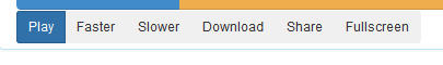
If you click "Download", you can download the GIF image linking the photos of the route from the first person viewpoint.
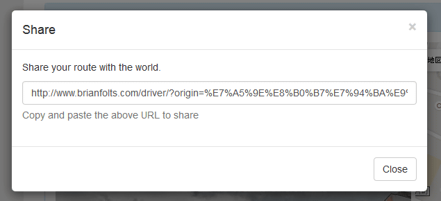
Click "Share" to save the routeLinkYou can share.
Furthermore, when you click "Advanced Options" at the time of search ... ...
You can search by changing conditions. "FPS" is not a first person shooter gameframe rateIt stands for, and indicates how many photos are displayed per second.
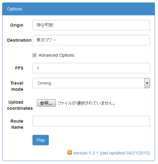
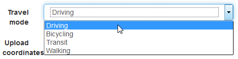
Also, from 'Travel mode' you can select 'Driving', 'Bicycling', 'Transit', 'Walking', and the distance of taking pictures and photos will change according to your choice . From Kamiyacho station to Tokyo Tower is less than 1 km and it is very short, so when searching for a route from Tokyo to Osaka, for example, because the distance is long, we have chosen walking etc and you will reach the destination anytime lose.
"Google Maps Streetview Player" makes it easy to display the route to the destination in the first person's picture in the street view compatible area so that people who do not have directional sounds and machine sounds, of course, nostalgic land It is perfect for feeling that I went on a trip with a PC for a walk or a place I have never been before.
Related Posts:
in Review, Web Service, Posted by logu_ii