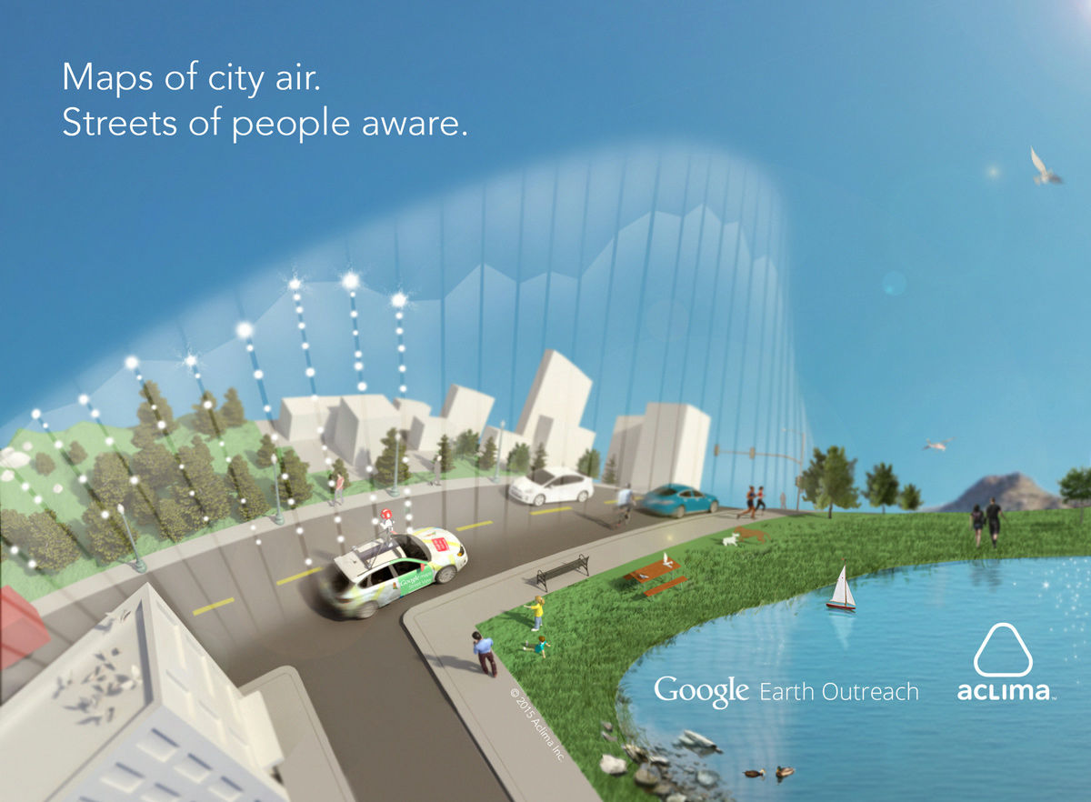
Google street view car decides to start measurement and mapping of air pollution level

Aclima, a company that builds an environmental sensor network based in San Francisco, will be on local time on July 28, 2015Google Earth OutreachAnnounced that they have started a project to visualize air pollution levels in urban areas.
Aclima and Google Partner to Map Outdoor Air Quality with Street View Vehicles | Aclima
http://aclima.io/blog/posts/aclima-google-map-air-quality/
According to the announcement, both companies run Google around the city and take a picture of the landscape By installing Aclima's mobile sensor in Google's street view car, we measure the atmospheric environment of the town, visualize it and thereby paradigm the user's environmental awareness He said he is aiming for a shift.
Street view car measuring the atmosphere can be seen in the following movie.
Aclima & Google Map How Cities Live and Breathe - YouTube
A lot of cars ......
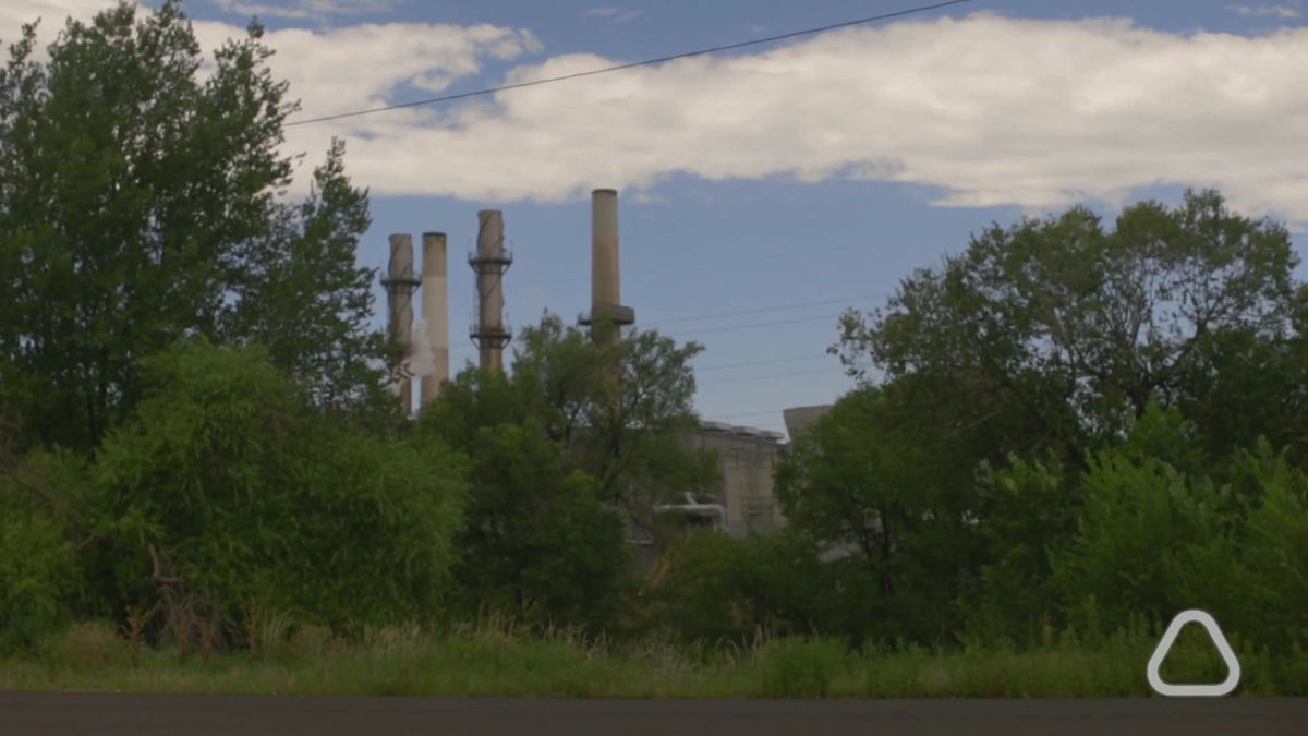
The causes of air pollution, such as factories, are diverse.
Just being told that "the air pollution is progressing throughout the planet" is not how the pollution of the place where I usually live is contaminated.
Therefore, Google and Aclima cooperate. By attaching Aclima 's mobile sensor to Google' s street view car running around the city to create Google Street View, we will map when and where pollutants are emitted.
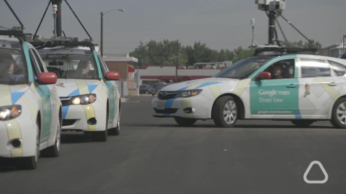
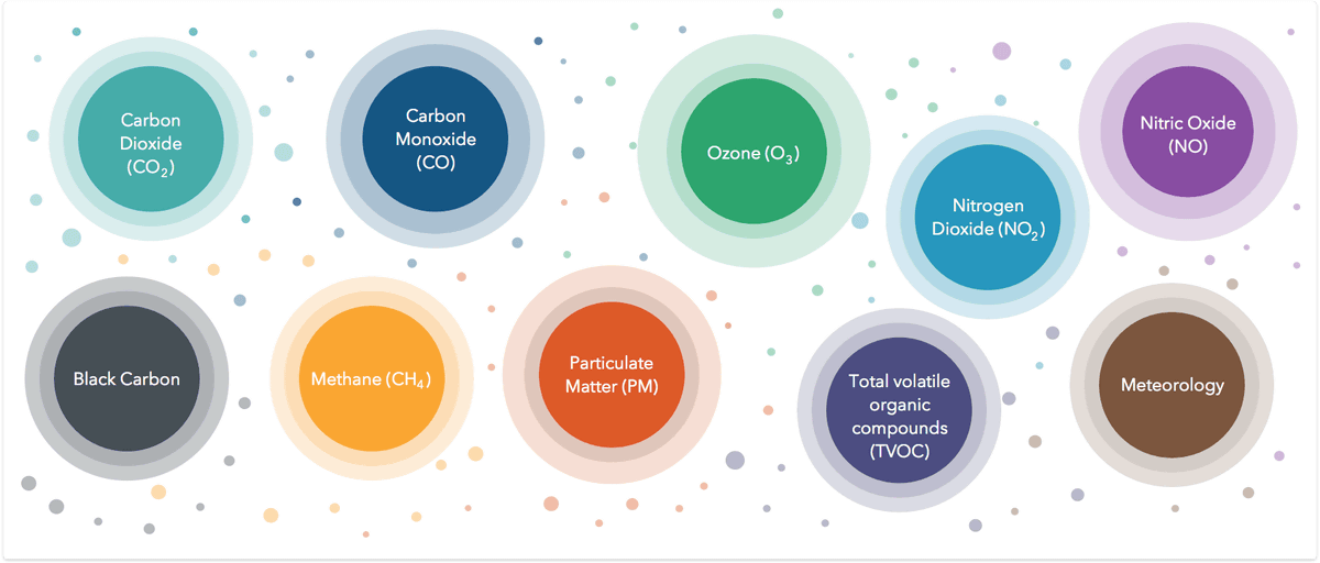
In the project, it seems to measure particulate matter and volatile organic compounds which are harmful to the human body or may affect climate change, and in the three street view cars actually introduced at the stage of the demonstration experiment We have succeeded in measuring the concentrations of nitrogen dioxide, nitrogen monoxide, ozone, carbon monoxide, carbon dioxide, methane, black carbon and so on.
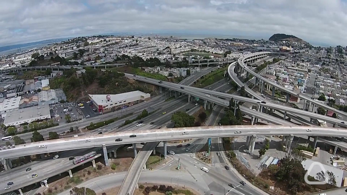
In the experiment, Aclima installed its mobile sensor in three street view cars and measured the air pollution level of the city of Denver, Colorado, USA for a long period of about one month. In addition, Aclima · Google, NASA and the United States Environmental Protection Agency (EPA) are also participating in the measurement, EPA provides scientific expertise and American industry-university collaborative research formatCRADAIt seems to be involved in the conclusion of. In the one-month demonstration experiment period, the travel time of the street view car has reached 750 hours and succeeded in gathering 150 million data points.
The data collected by three street view cars can be seen from the following.
Aclima Insights: Mapping How Our Cities Live and Breathe
http://insights.aclima.io/

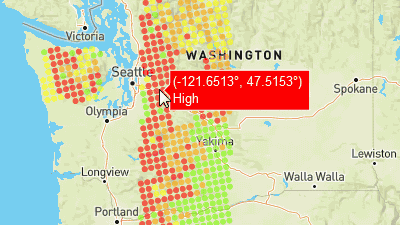
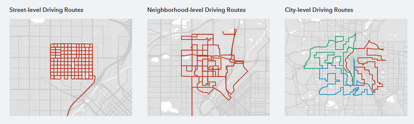
Traveling route of the street view car.
The following substances were measured.
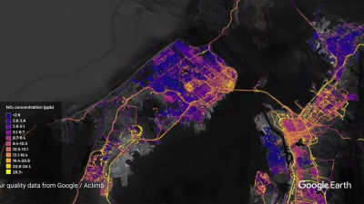
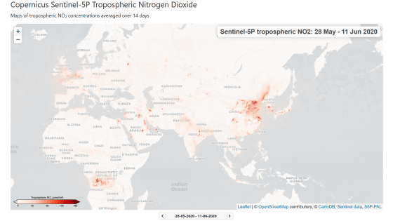
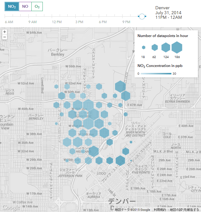
Different data can be seen for each day, hour, substance, for example, the following are the indications of the concentration of nitrogen dioxide measured in Denver from 23 o'clock to 24 o'clock on July 31, 2014, The darker the blue color, the higher the contamination level is. Note that these data are currently open only for July 31, 2014, so that the concentrations of nitrogen dioxide, nitric oxide and ozone can be seen every hour from 6 o'clock to 24 o'clock It is becoming.
"By integrating Aclima's mobile sensor platform and Google's street view car, we will have a great opportunity to know where and where we are living and breathing, Aclima CEO Davida Herzl.
Furthermore, "At present, more than half of the world's population lives in urban areas, and environmental sanitation is becoming an increasingly important problem in raising the quality of life (quality of life). , We announce the successful integration test with Google The integration of Aclima's mobile sensor platform and Google's street view car is the basis for showing the degree of urban air pollution on a high resolution map I am commenting.
Related Posts: