DARPA develops GPS navi that can be used without satellite
ByAaron Parecki
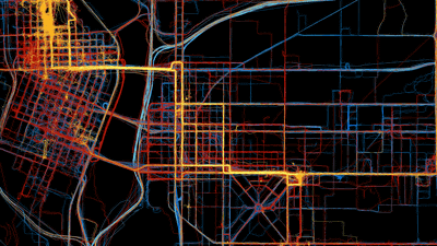
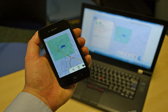
Various kinds of services including map applications, the current position measurement system used to acquire user's position information is "GPS"is.Car navigation systemAlthough it is also used in GPS, it replaces GPS which can be used without any satellite "New GPSIn the United StatesNational Defense Advanced Research Projects Bureau(DARPA) is now under development.
2015/03/26 DARPA Shares Its Vision for the Future
http://www.darpa.mil/NewsEvents/Releases/2015/03/26.aspx
DARPA to re-invent GPS navigation without the use of satellites | ExtremeTech
http://www.extremetech.com/extreme/202111-darpa-to-re-invent-gps-navigation-without-satellites

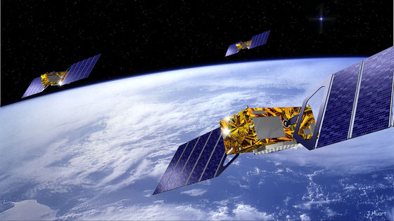
GPSGlobal Positioning System(Global Positioning System), which was originally a system used during military operations. The positioning system using the satellite developed by the US Department of Defense in 1960 was not the name of GPS but the one called "TRANSIT". By the 1980s, the US military has gradually improved this system and will continue to improve on the same system as the current GPS using multiple satellites floating around the earth.
GPS receives time information from three of 31 GPS satellites,TriangulationMeasure the position information with. However, the atomic clocks installed in each satellite are delayed due to the satellite moving at high speed, and this error is as much as 38 microseconds per day. Einstein 's theory of relativity is an essential theory that GPS needs for the difference since this difference has been corrected using relativity theory.
ByJen Scheer
From the 1980s to the 1990s, the US military deliberately delivered inaccurate information for the private sector, so GPS was never widely used. However, at this point the GPS has improved considerably as a technology, and it seems that it was possible to position quite accurate position information.
And in 2000, President Bill Clinton of the then President of the United States "Bill to make military quit scrambling satellite information"Signed on, accurate satellite information can be used even in the private sector. As a result of discontinuing scrambling, GPS can now locate location information with about ten times the accuracy of previous GPS, so many private companies have come to use this system collectively as "GPS navi" .
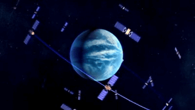
As a satellite positioning system other than GPS, RussianGLONASSAnd the EUGalileothere is ........., ........., etc. The basic parts of these systems are almost the same, and at least 24 satellites need to function at the same time to acquire information, and information from three satellites must be acquired at the same time.
BySurrey County Council Ne
As a plan for improving the conventional satellite positioning system, ground based "non satellite" positioning system has been thought to be a good alternative, but these also have drawbacks. That is the necessity to incorporate far more communication devices into each receiver used for smartphones and car navigation systems than those of conventional receivers. If such a receiver becomes, it becomes clearly more difficult to manufacture than the previous one, and it is clear that maintainability as a device is lower than that of a GPS receiver. As a system that does not use another satellite, it was used at the time of World War IILORANThere are also. Although it is resistant to interference with radio waves, the accuracy is not so high, it seems difficult to apply to the services currently used. Other possibilities include the positioning system that is currently being used for shipping etc.DGPSAlthough this can also be mentioned, this is a system that is susceptible to radio interference as with regular GPS.
ByMichael Brashier
However, the "new GPS" under development by DARPA will be a positioning system that is resistant to satellite-dependent radio interference. According to the information published by DARPA, "A system capable of measuring time and position that takes the place of GPS has come to be demanded from the necessity of a system that can operate effectively even in areas where GPS can not be used." "Fundamentally new technology" invested in DARPA can provide position information and time information for military systems while maintaining accuracy of GPS level position measurement, compact, self correcting gyroscope, accelerometer, clock It becomes an inertial measurement device using the cooling atom interferometry which includes a pulse laser including an atomic clock and a microwave source.
Although details are not revealed, DARPA is trying to construct a new system to replace GPS by using "ultra-small chip realizing navigation without GPS" which revealed development in April 2013 Maybe there is.
DARPA develops ultra-small chip realizing navigation without GPS - GIGAZINE

Related Posts:


in Note, Posted by logu_ii