"Fukushima Prefecture Radioactivity Measurement Map" released, radiation dose check for each region enabled
Following the accident of radiation accident at Fukushima Daiichi Nuclear Power Station due to the Great East Japan Earthquake, Fukushima Prefecture released "Fukushima Prefecture Radioactivity Measurement Map" below which we can check the radiation dose in each area.
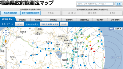
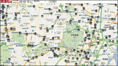
Fukushima prefecture radioactivity measurement map
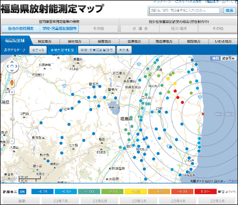
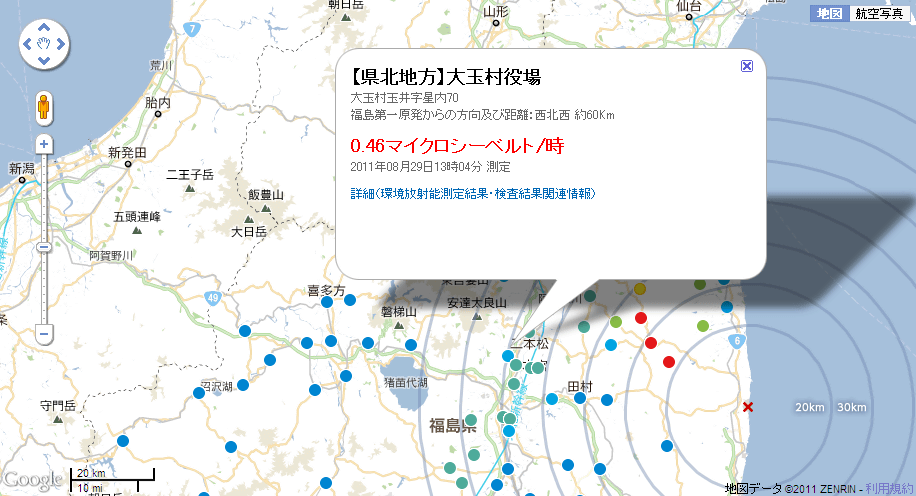
Actual map. Looking all over Fukushima prefecture like this.
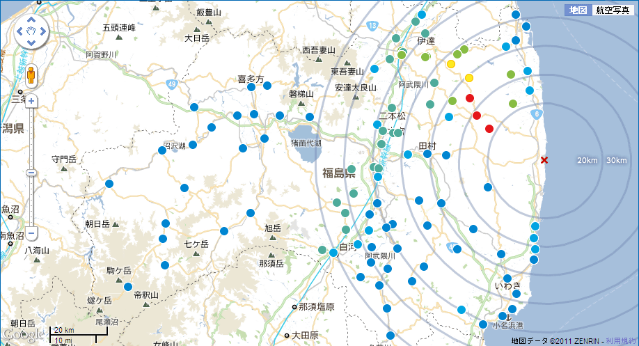
The dose changes according to the color of the icon. Unit is micro sievert / hour.

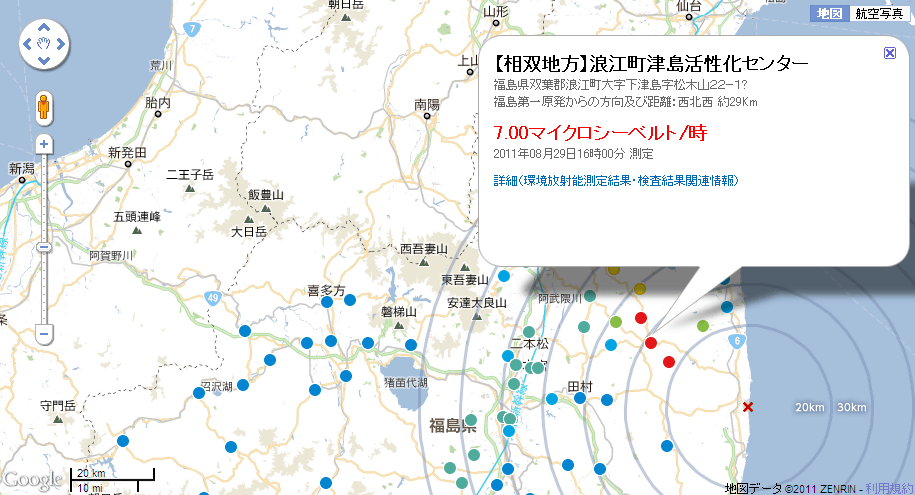
Namie Town Tsushima Activation Center located about 29 km from Fukushima Daiichi Nuclear Power Plant is 7.00 microsieverts per hour at 16:00 on August 29, 2011.
Otama village office located about 60 km from Fukushima Daiichi Nuclear Power Plant is 0.46 microsievert per hour. In this way you can check the dose at each point.
It is also possible to enlarge for each area. This is the one in the Iwaki district that hits the south side of Fukushima Daiichi Nuclear Power Plant. We can see that it is generally less than 1 micro sievert per hour.
In addition, measurement results such as tap water, river and coast will be posted in the future.
Related Posts:

in Note, Posted by darkhorse_log