Project to create a vast European map with Lego "Euromap"
"Euromap" is a project that used a Lego block for about half a year to create a map of Europe.
We use 53,500 LEGO blocks only on the map part and express the map in three dimensions. Moreover, since the place of sight of various places is also made by building it, it seems that it seems to feel like having watched the sights of various places just by watching it.
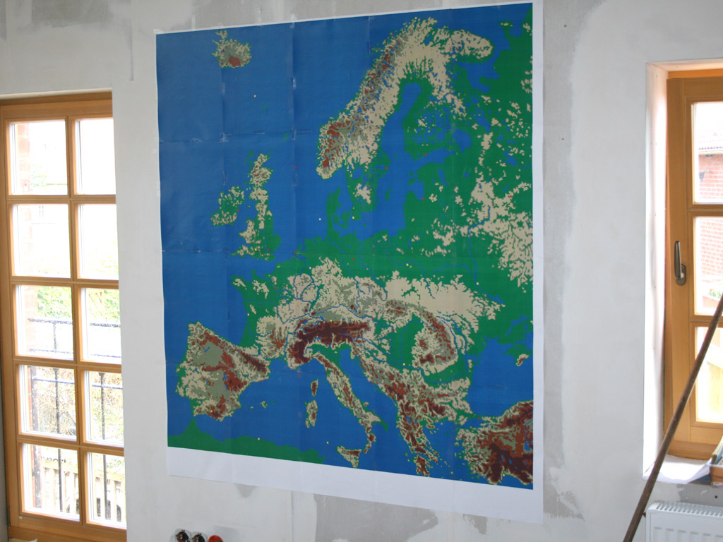
Making landscape and detailed map photos are below. This map is this map.
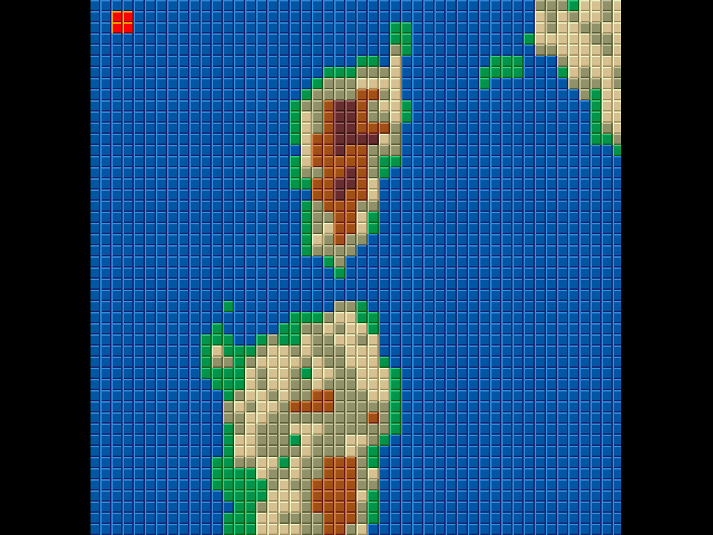
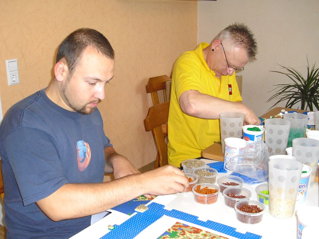
We will divide the map into 1 mass each.
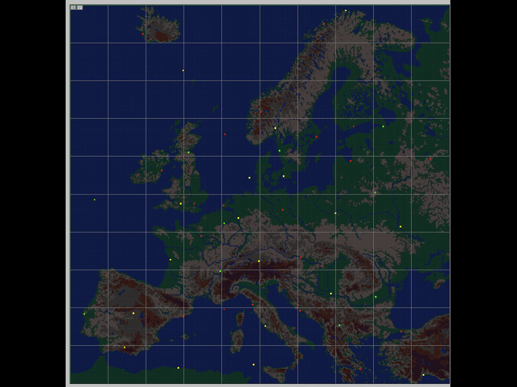
Then we will reduce the number of colors and decide where to place which block of color.
First of all, prepare a lot of blue LEGO blocks and make the sea part.
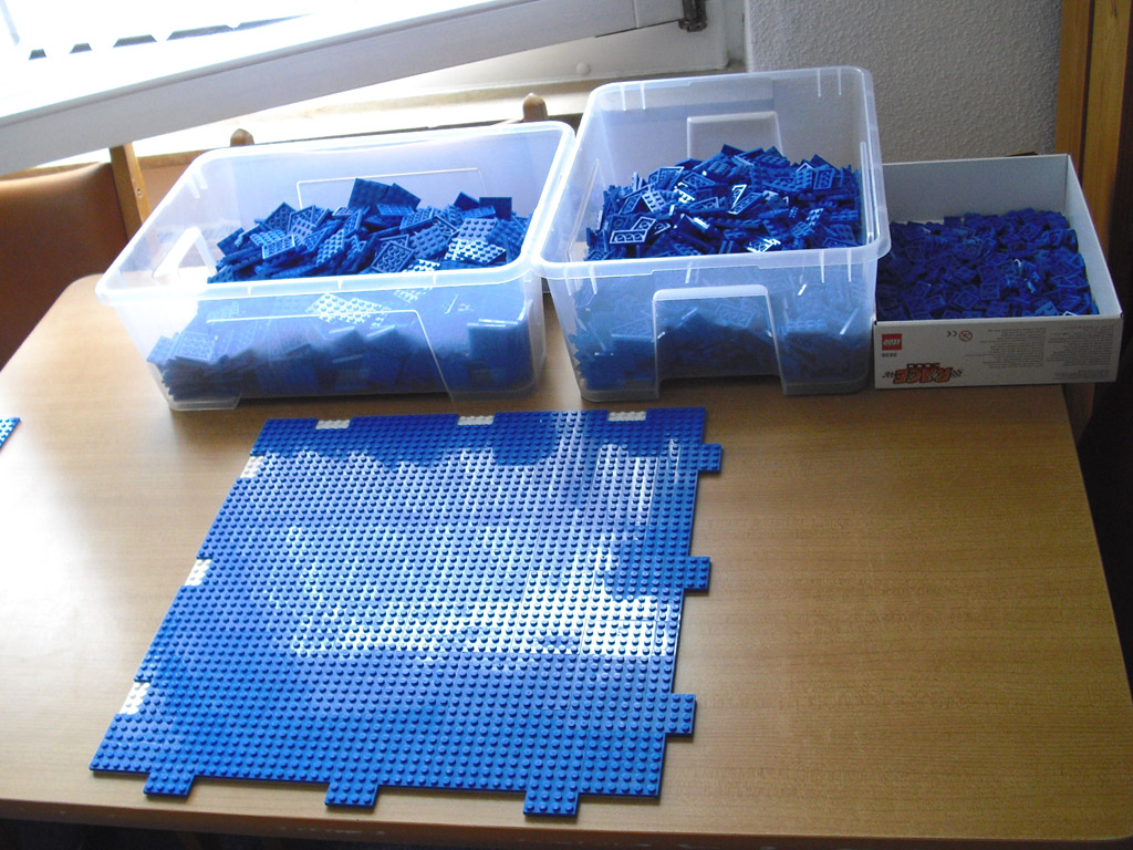
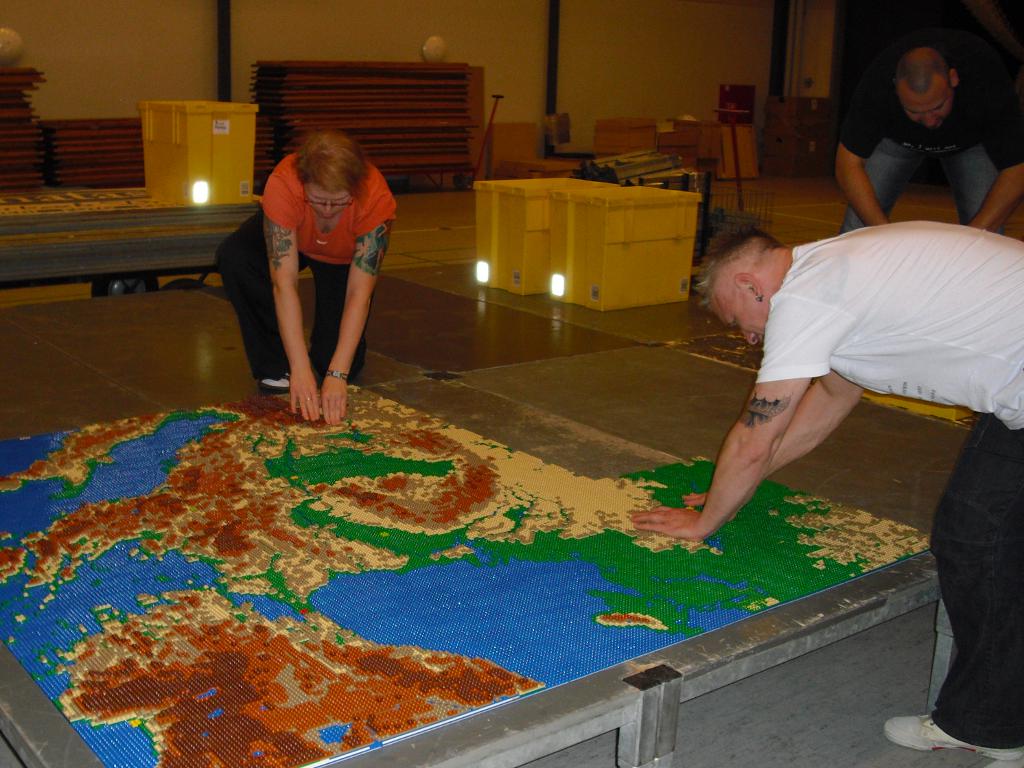
Based on the data you make, we will assemble the Lego block categorized into containers without color for each color.
It gradually got together. It is as precise as a three-dimensional map.
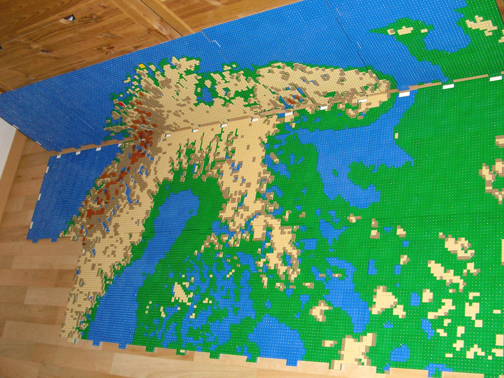
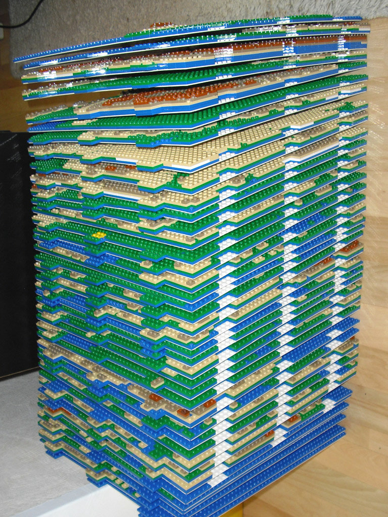
Separate what you have assembled and build a mass one by one, it will be quite high. When connecting all together, it will be a large map of 3.84 m x 3.84 m.
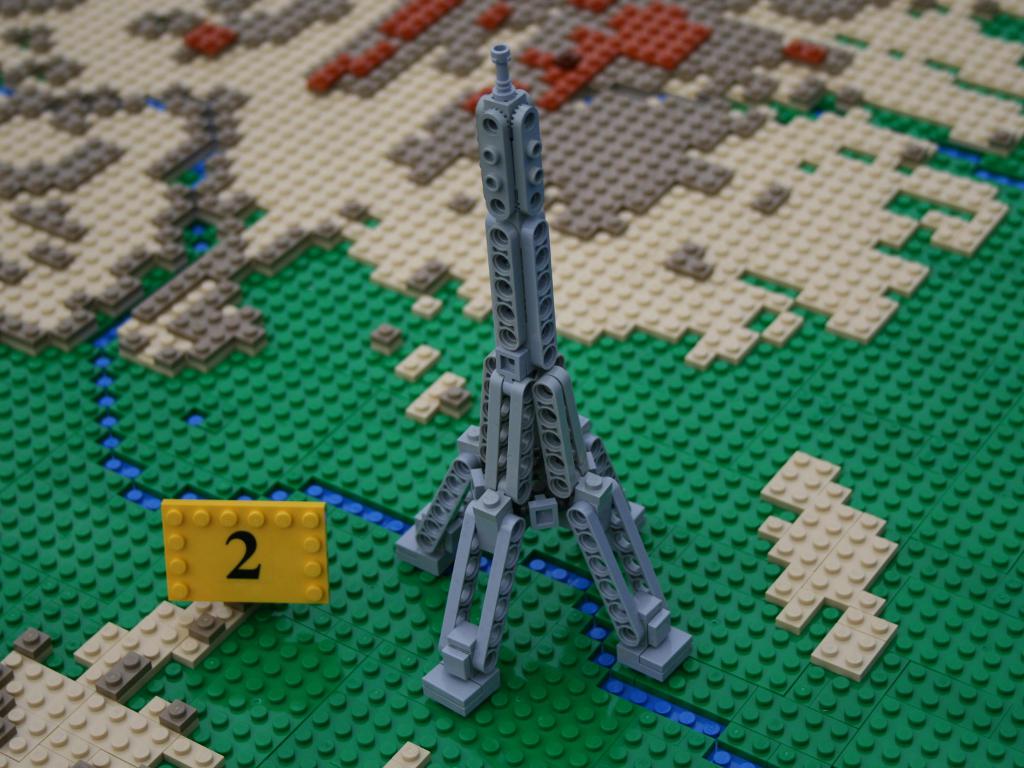
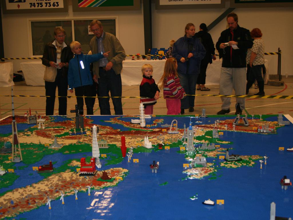
Lots of European landmarks are also represented by Lego blocks. This is the Eiffel Tower in Paris, France. It feels a bit more mecha than the real one.
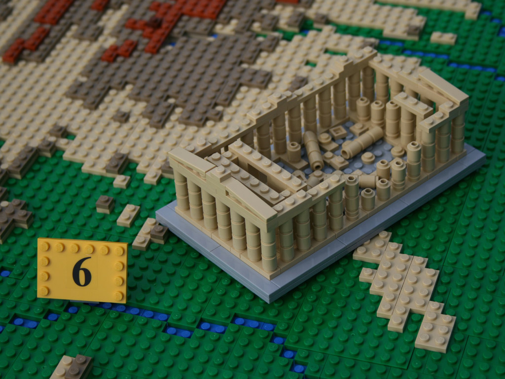
Temple of Parthenon in Athens, Greece, is also expressed up to the collapse of the pillar.
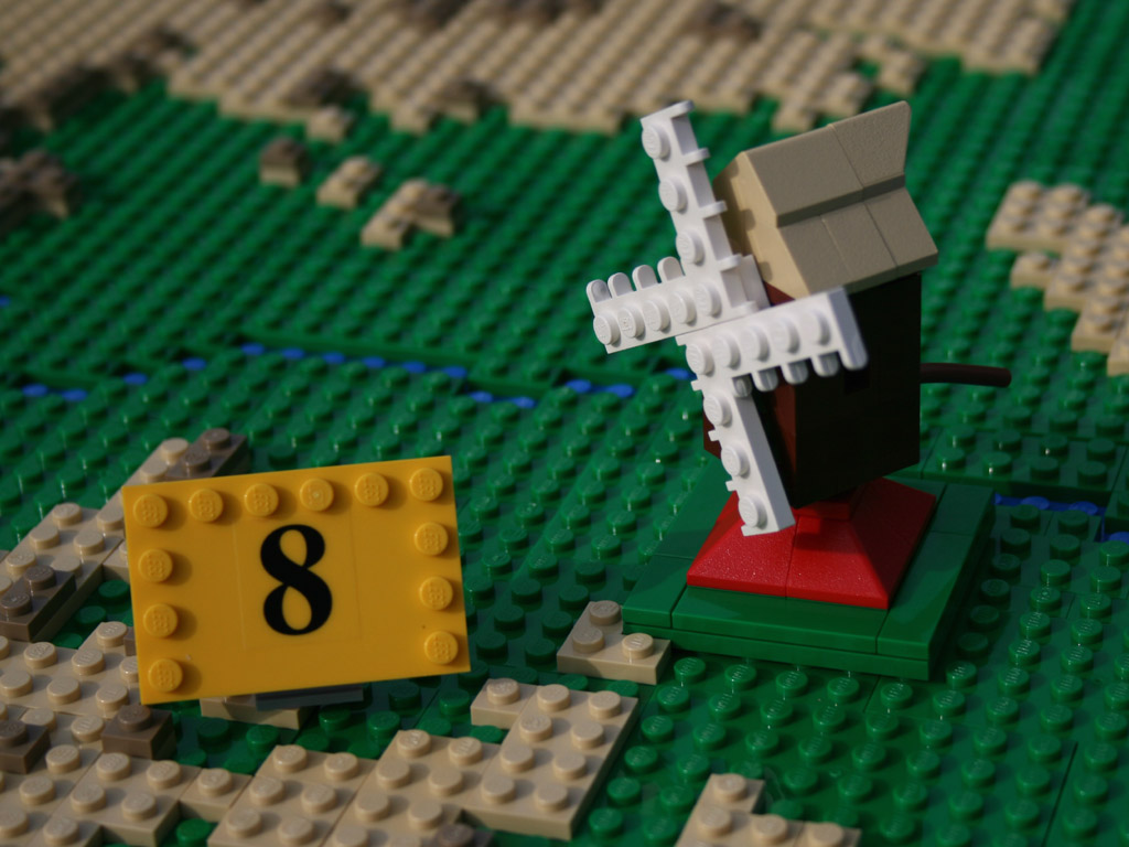
Windmill of Netherlands Rotterdam specialty.
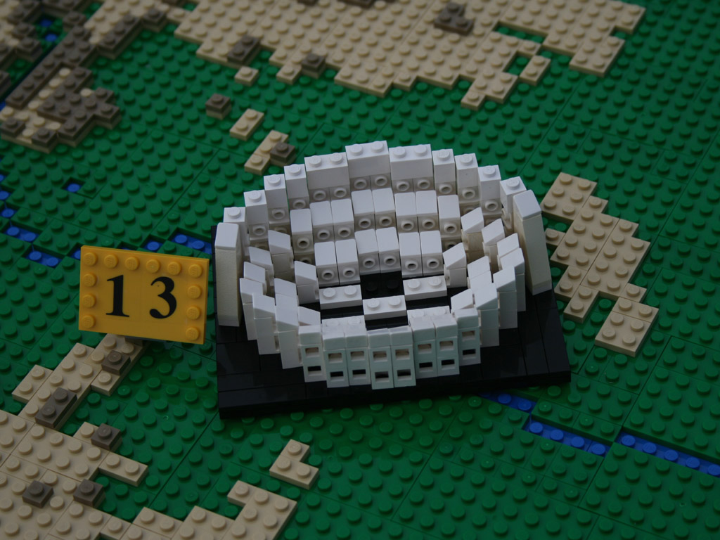
The Colosseum in Rome, Italy was reproduced with moderate deformation.
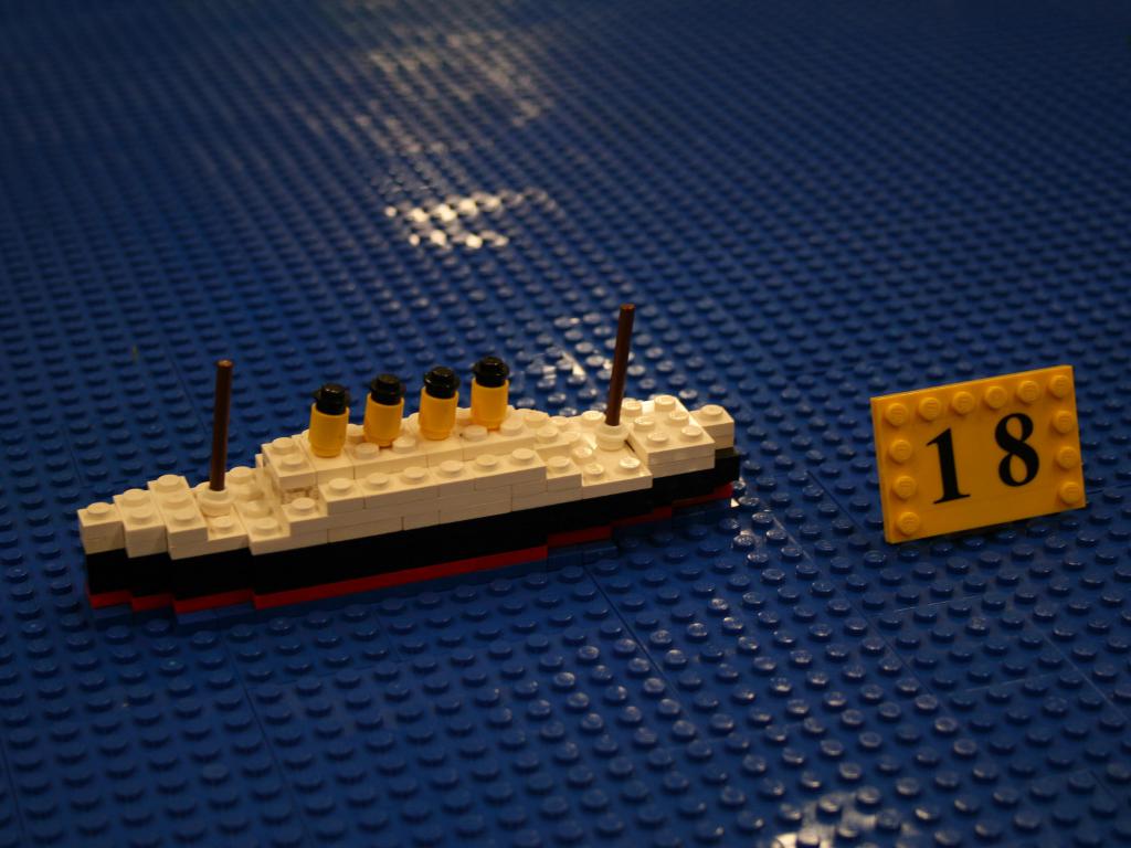
The Titanic is also floating.
It seems that such "Euromap" project will be displayed.

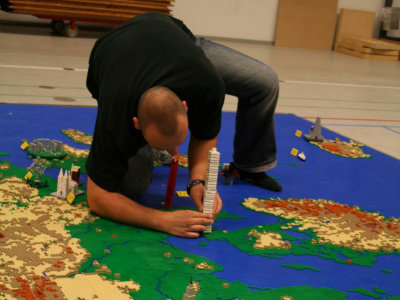
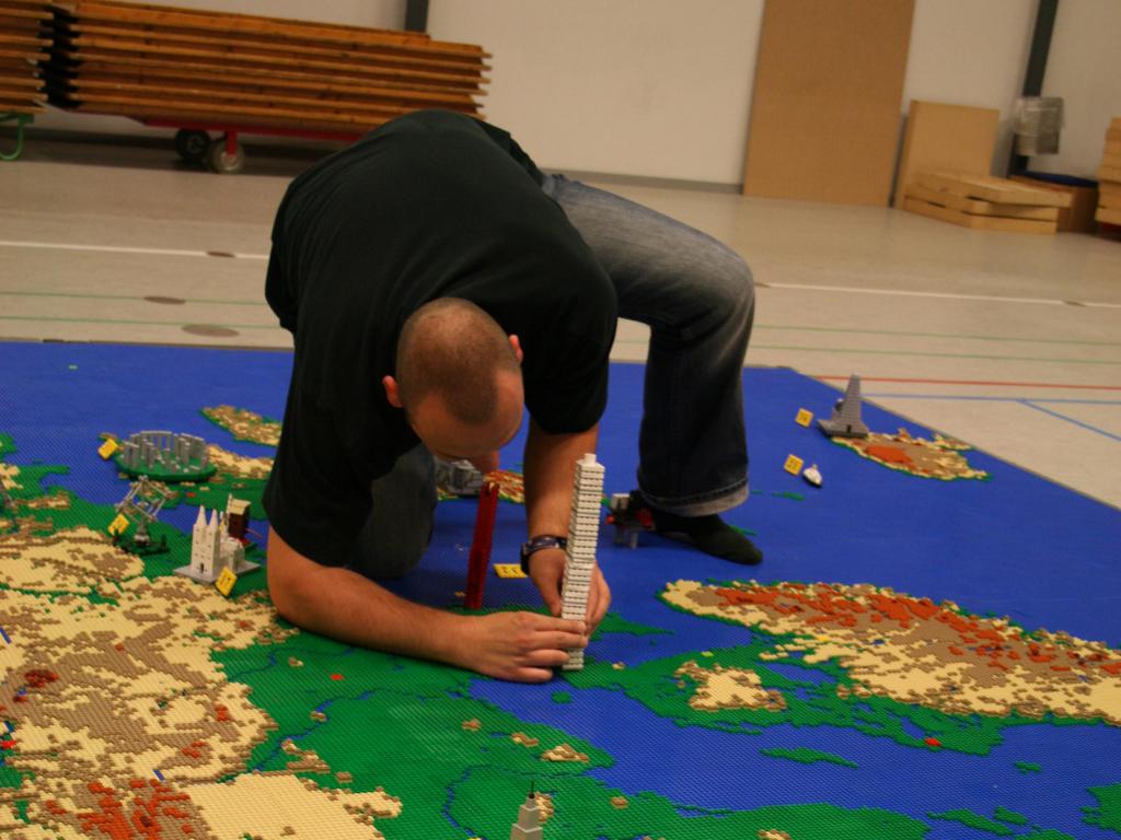
We will connect the maps that were divided into groups of 1 trout.
On top of that we set up various Lego sights. Although power is put in considerably posture, is it still hard to balance it?
Because of such hardships, it seems that many people were gazing at the exhibition regardless of age and sex during the exhibition.
You can see other photos and making landscape at the site below.
T-reichling.de
Related Posts:


in Note, Posted by darkhorse_log