How was the border town of America and Mexico changed in 110 years
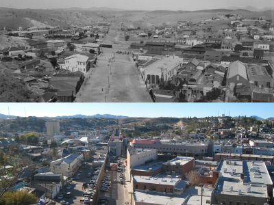
America's Arizona State and Mexico have a 626-kilometer border, and one of the towns on its border is Nogales. There were pictures of this town in 1898 and 2008. In comparison, I feel that the importance of the border changed in 110 years.
Details are as below.
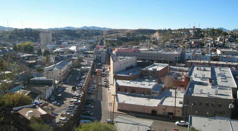
This is the current Nogales. The left side is Mexico and the right side is America.
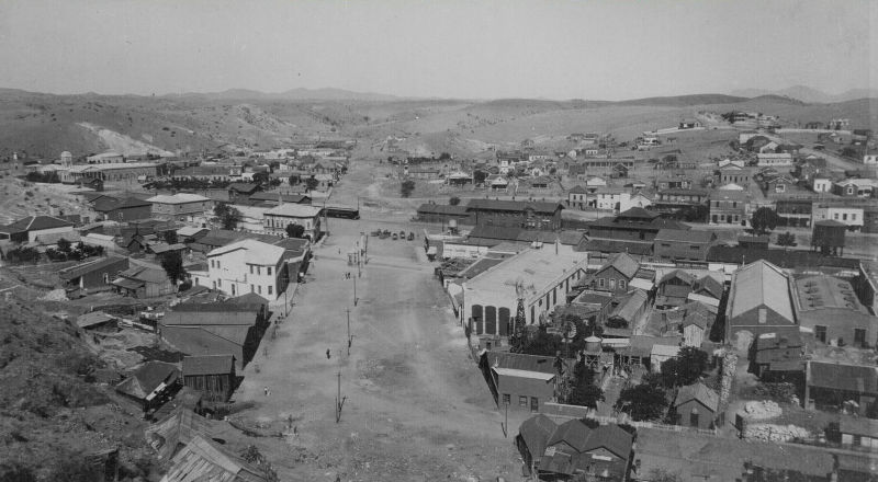
110 years ago, 1898 was like this. There are things like electric poles in the center, which is like a borderline line. Compared to the current photo above, people seem to be able to come and go freely. Changes such as walls being created on the border line and hills developed behind the pictures can be seen, but there is no change such as a huge apartment being forested.
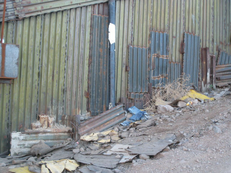
A wall made at the border.
Larger images can be seen below.
Think or Thwim >> A Comparison of the US - Mexico Border in 1898 and 2008
Related Posts:


in Note, Posted by logc_nt