The new version of 'Statetris' is African countries and French provinces
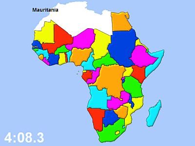
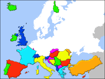
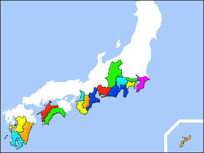
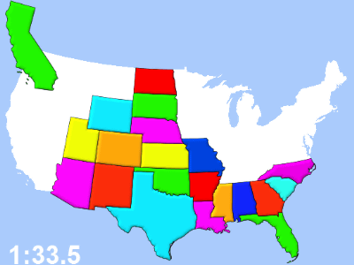
First version of American version,The second European versionAlthough it is Statetris who introduced it, at the end of the European version of the article, I wrote that "Africa version appears, it seems to be quite satisfactory," and I actually wrote an African version. Together with the latest version of French version.
Access is from the following.
MapMSG.com - Statetris-Africa
First is the African version.
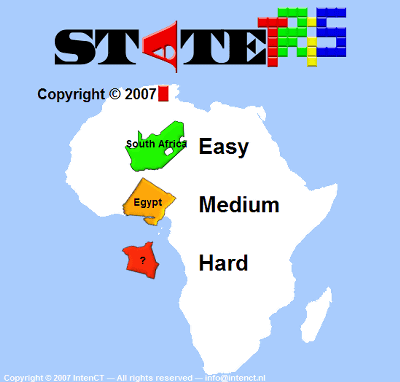
Often the name and location of the country are not immediately linked.
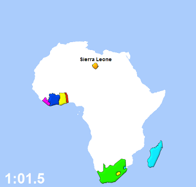
A little isolated island countryCape VerdeHas been cut.
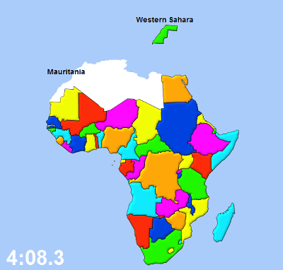
There are many places to suffer indeed, and the most struggling in Statetris so far. Easy 4: 21.2.
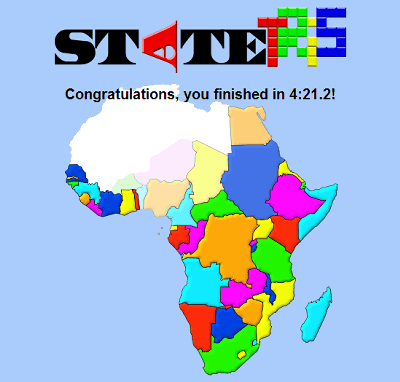
Midium is 5: 38.8.
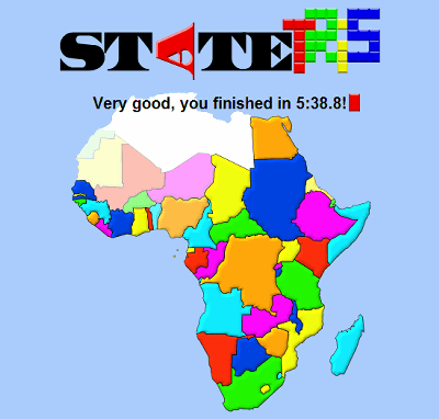
When I become Hard, I do not really know what country I am in any country. If you do it in order from Easy, it will become possible to understand by shape and color somehow.
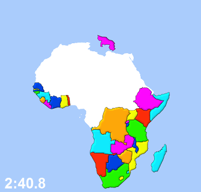
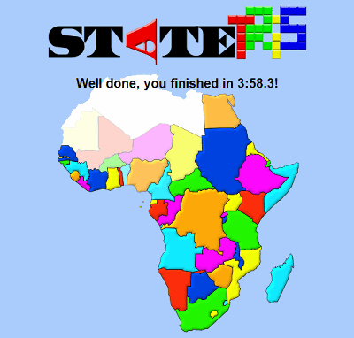
Thanks to getting used to, Hard was cleared the first time.
MapMSG.com - Statetris-France
This is the French version. France22 states (region)It is divided into.
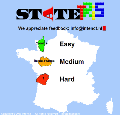
I do not even know what state there are, so even if there is a name it will not be a hint.
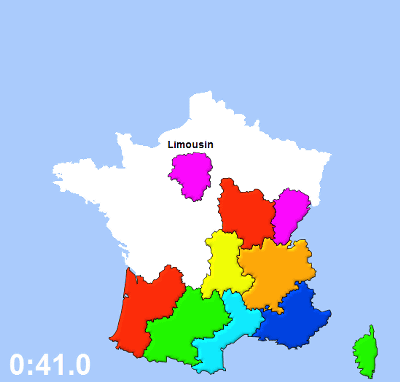
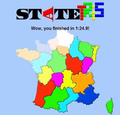
However, since the shape of the state boundary is characteristic, it can be filled like a jigsaw puzzle.
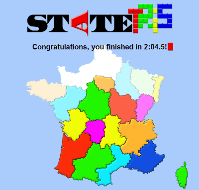
Hard was able to be cleared at 2: 04.5.
The French version has appeared before Asia. Perhaps next is also a country version such as Russia or Germany.
Related Posts:
