Apple could overthrow Google Maps could use the drones to improve the official map application
ByJoe A. Kunzler
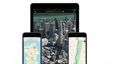
To catch up with Google Maps, which leads the map application market by Apple, we use the drones to gather the latest map data and use the official map application "mapThe possibility to strengthen "was reported by Bloomberg. Also, it seems that implementation of new functions to navigate the building is planned.
Apple Said to Fly Drones to Improve Maps Data and Catch Google - Bloomberg
https://www.bloomberg.com/news/articles/2016-12-01/apple-said-to-fly-drones-to-improve-maps-data-and-catch-google
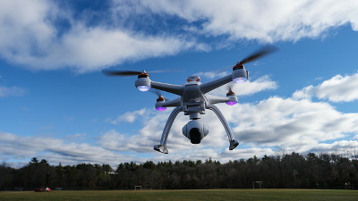
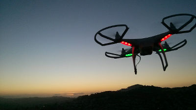
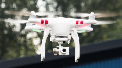
According to Bloomberg who got information from stakeholders, Apple plans to use the drone of manufacturers such as DJI and Aibotix to gather the latest map information such as road signs, new roads, under construction and reflect it on the map It is said that there is. Although Apple is collecting map information on cars equipped with cameras and sensors, Apple seems to think that drone users can collect the latest information more quickly.
It has been found in the material obtained by Bloomberg that Apple has already applied for Drone 's flight permission to the US Federal Aviation Administration on September 21, 2015. In addition, it was reported that at least one employee was pulled out from Amazon's drone division showing a positive attitude toward introducing Drone.
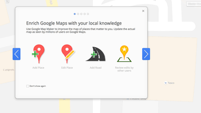
Google Maps leads the map application market. Apple's map released a new version that does not rely on Google Maps in 2012, but since it was released, troubles frequently occurred and received great criticism. However, after that, it has been improved by implementing route search and transit guide function.
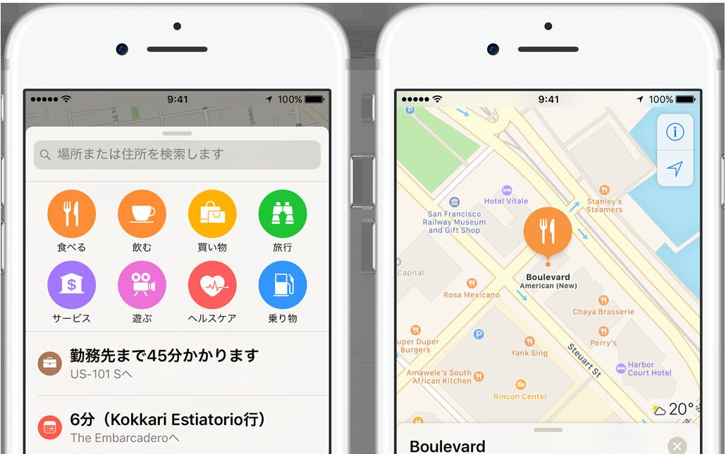
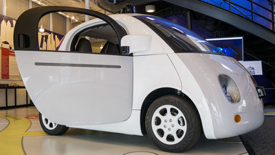
Apple said it is also planning to implement a new function that can be seen in the building and a car navigation function on the map. Whether it becomes an attractive feature to catch up with Google Maps, attention gathers.
Related Posts: