I have been looking at the Kumamoto-shi current extension plan that may be realized at the Kumamoto station elevation
On Saturday, March 14Hokuriku ShinkansenAlthough the railway is widely used as the aorta to support people's movement, such as opening up to Kanazawa and the central Shinkansen (Linear Central Shinkansen) scheduled to open between Tokyo and Nagoya in 2027, railway is widely used in rural areas A lot of cases are seen, and from the Wednesday, Wednesday, the Kintetsu inner line · Hachioji line will shift to the operation by Yokkaichi Asunaro railway of the public privatization type.
In such a circumstance, Kumamoto City became the new mayor of a candidate who raised the extension of the streetcar to one of the manifesto. Although there was a plan of extension several times in the past, although it was not realized, what kind of plan is this, just seeing that the elevation of Kumamoto station is also being advanced I have done it. Please note that the shooting is in early March, so there may be a difference in circumstances from March 14, 2015 when a conventional elevated section elevated section was opened.
Kumamoto Municipal Transport Bureau Website
http://www.kotsu-kumamoto.jp/
Kumamoto) Posting of the charge to the stamping of the tender street expenses investigation expenses Mayor Kumamoto policy: Asahi Shimbun Digital
http://www.asahi.com/articles/ASH1545HSH15TLVB00Y.html
Proposed extension to the West ◆
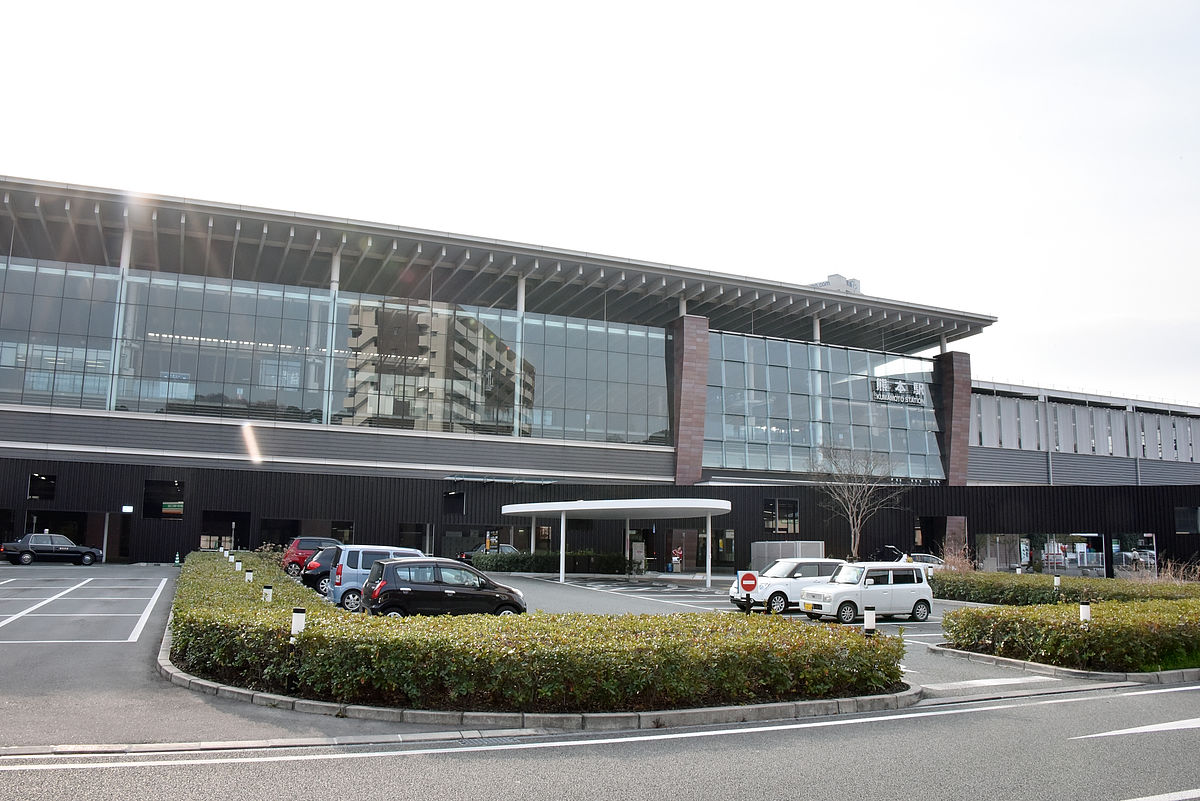
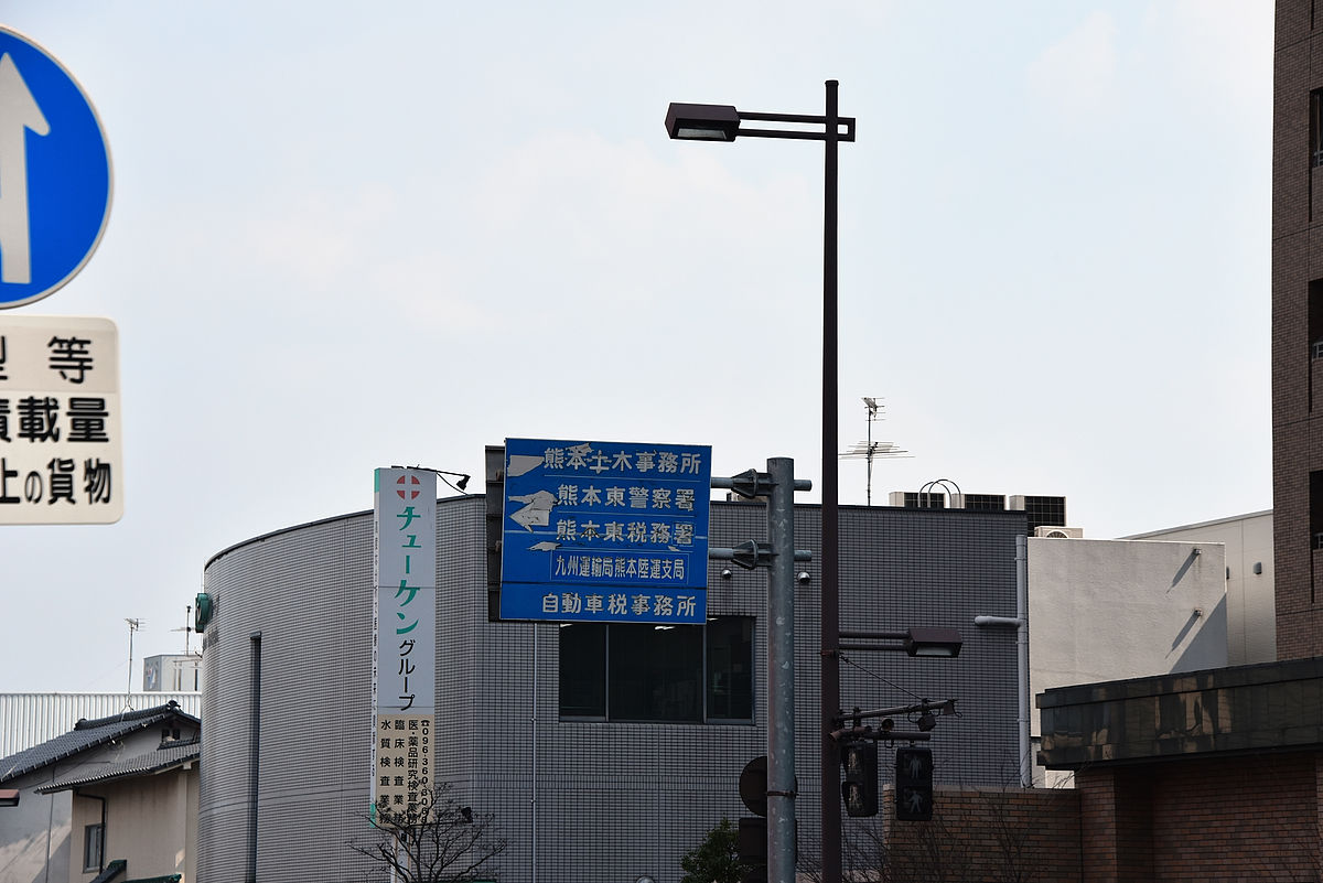
First we arrived at JR Kumamoto Station. This is the west side of the Shinkansen mouth, the other side of the glass level of the second floor is the home of the Kyushu Shinkansen.
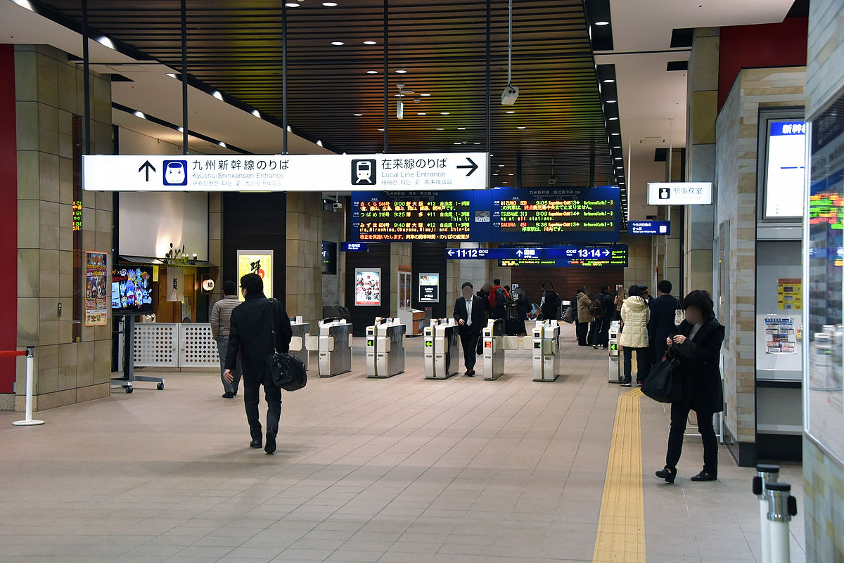
Ticket gate of Kyushu Shinkansen. There are also ticket gates for conventional lines at neighboring places.
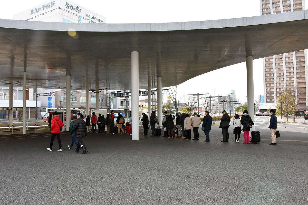
I went through the underground passage and went to the east side of the station and climbed the pedestrian bridge. Kumamoto-shi electric Kumamoto Ekimae Station in the center is JR Kumamoto Station on the right side.
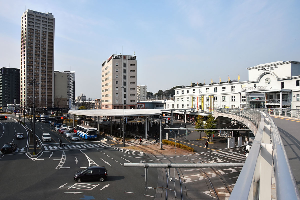
When getting off the JR and leaving the east exit, it is making it like getting on the tram without getting wet with rain.
At the same time with the extension plan, relocate Kumamoto Station Electric Terminal to the horizon of JR Kumamoto Station after elevationTransit MallThere was also a plan to convert it, but this is also a danger and it is canceled. It is also quite handy for current transit.
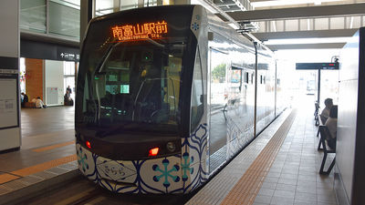
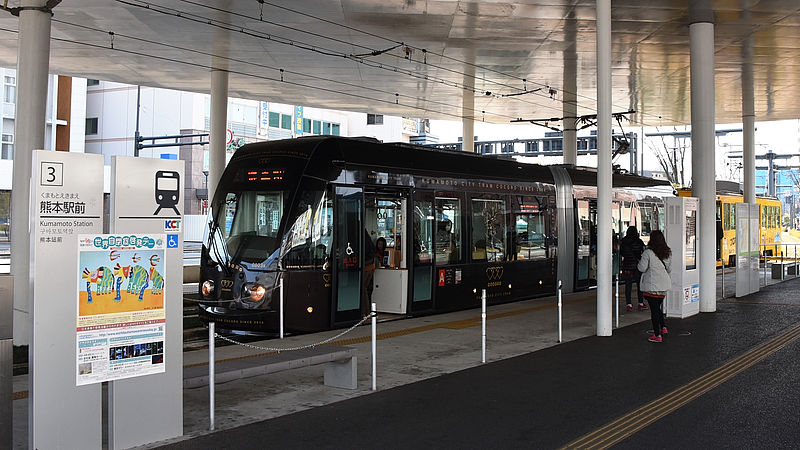
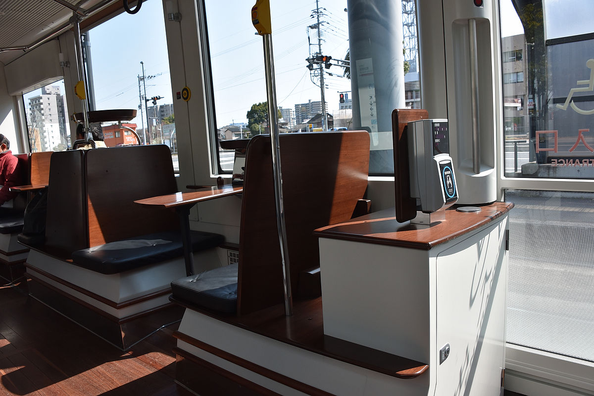
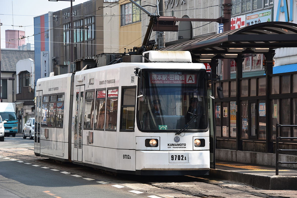
Just a new type of tram car "COCOROI had the opportunity to get in to it.
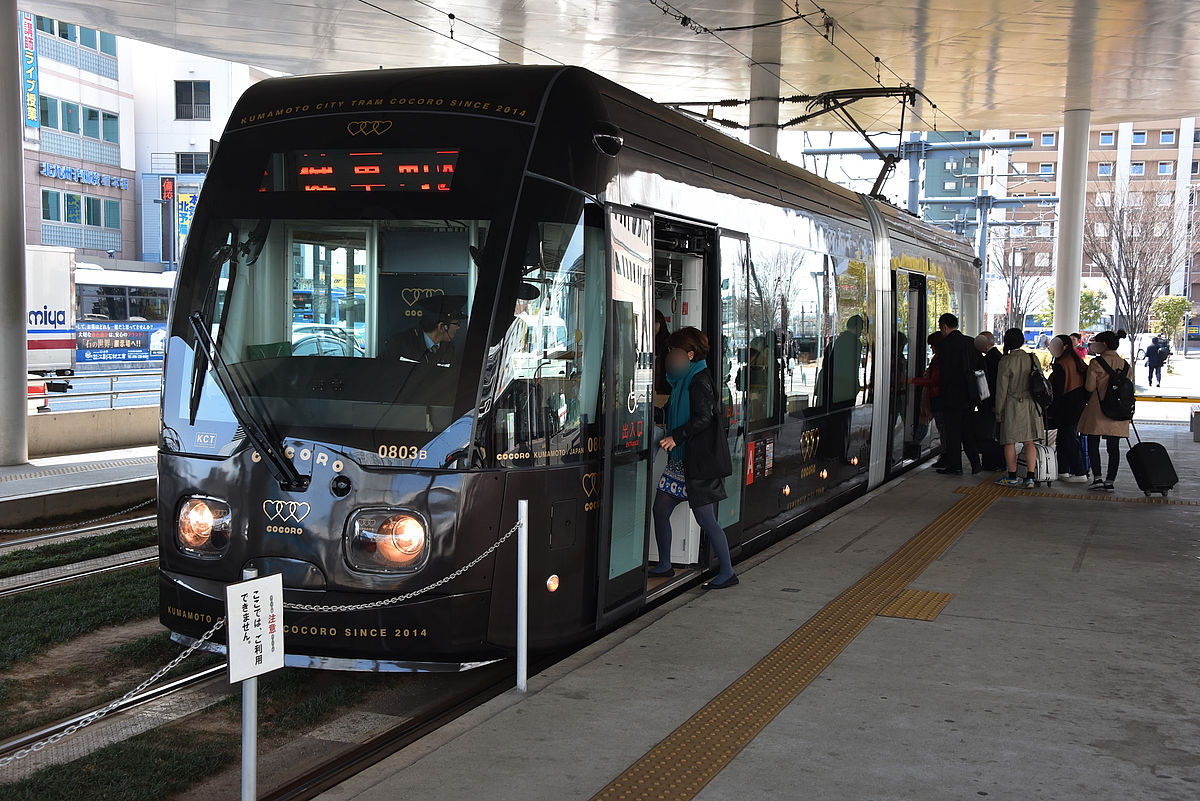
With an ultra low floor car, the height of the landing and the interior of the car is almost flat.
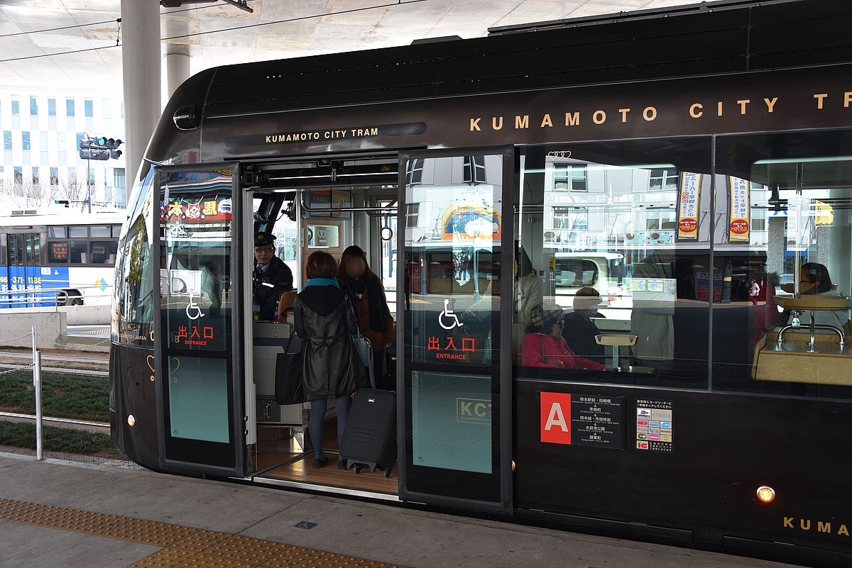
Furthermore, there are no steps in the interior, so even people with wheelchairs and suitcases can get on and off.
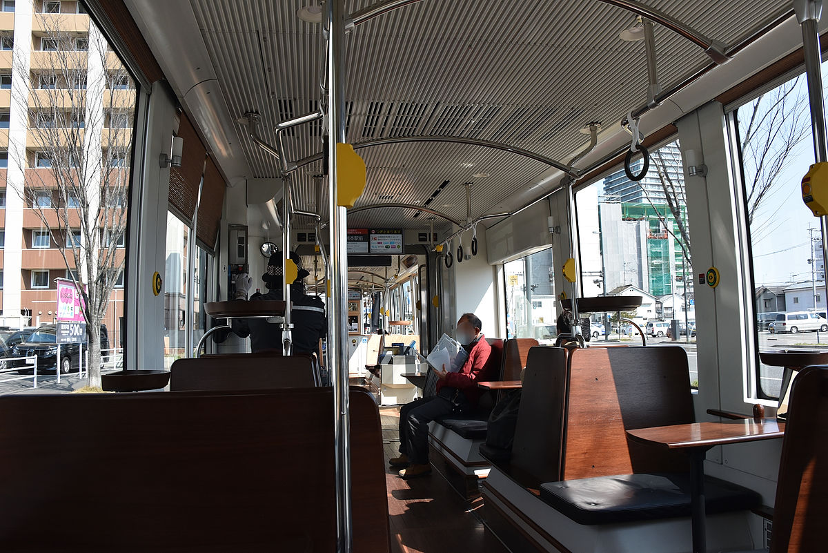
The seats are in face to face, perfect for sightseeing.
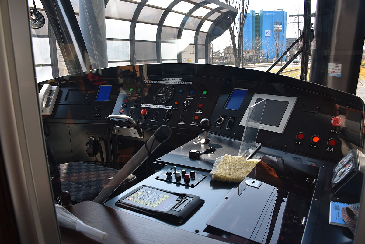
A new driver's cab.
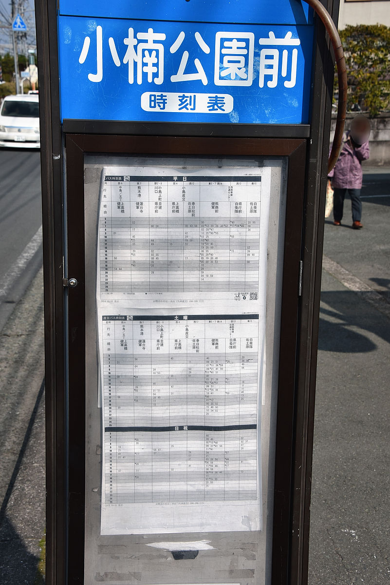
The mayor's plan to extend the tramp is planned to extend from the Tsuzaki Bridge Electric Terminal, which is currently the western end of the line, to the wholesale market through the elevated JR, and the plan to extend from the east side Two of the plan to extend to nearby Self Defense Force, or further to the Numazatsu area in the east (Yuyamatsu).
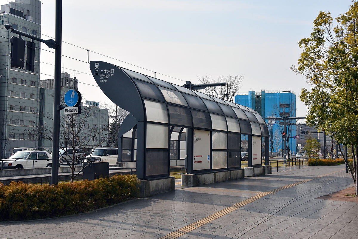
First of all we will decide to go from the West side. Next to Kumamoto Ekimae Electric Shinkansen is Nipponki mouth station.
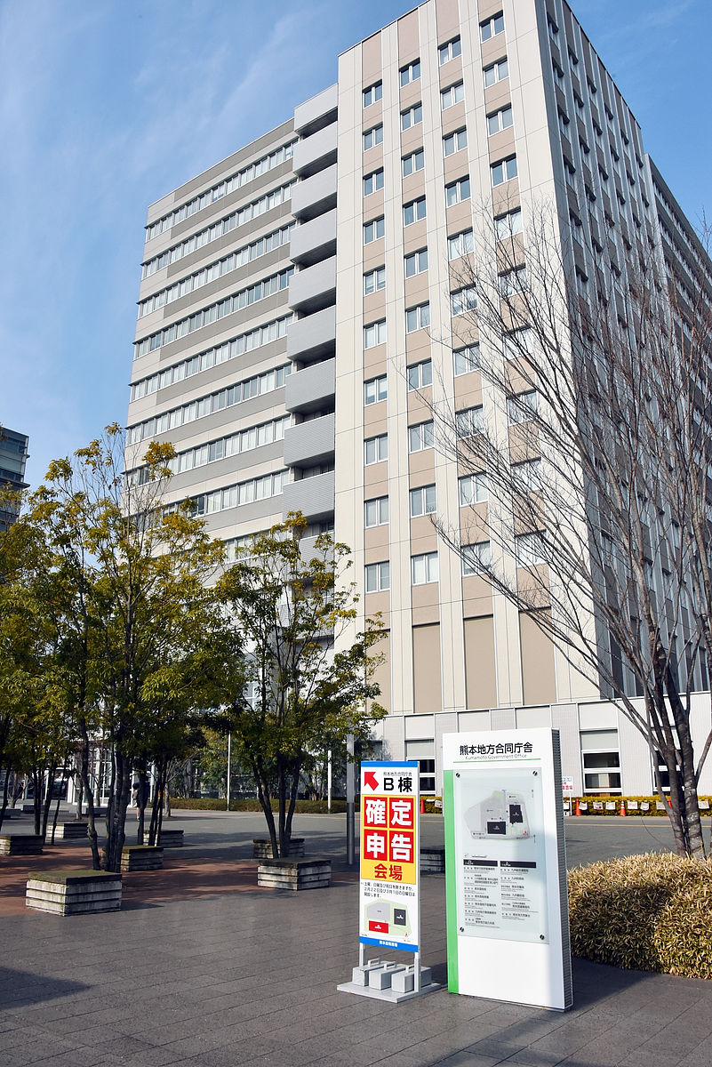
It is the Kumamoto district local government building in front of the electric stop.
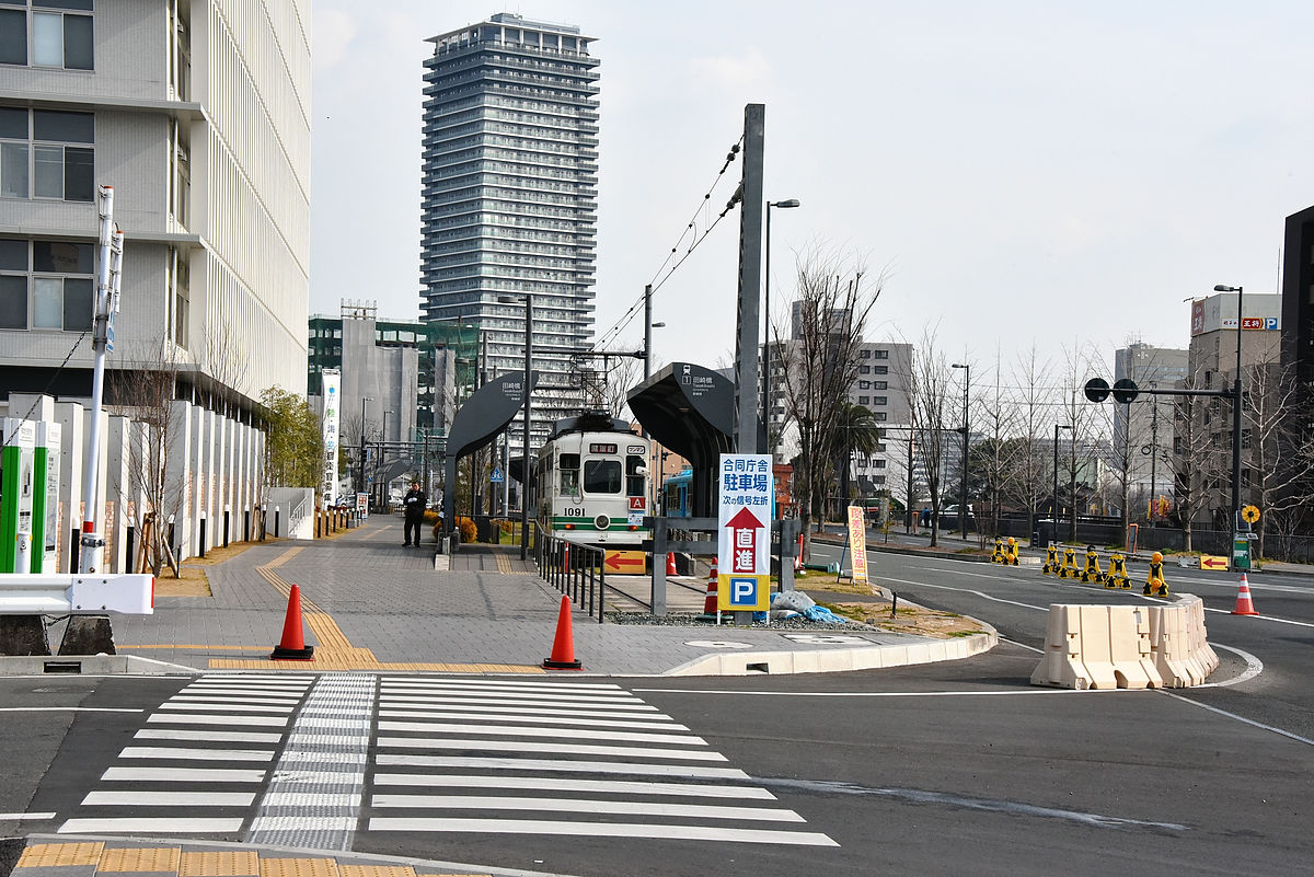
That place is Tasaki Hashigami Station.
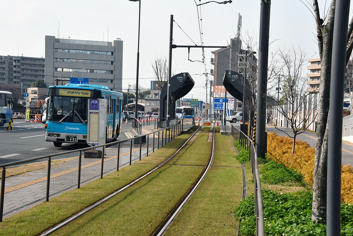
In retrospect, it is close enough to see the white train stopped at the Jinpegi gate.
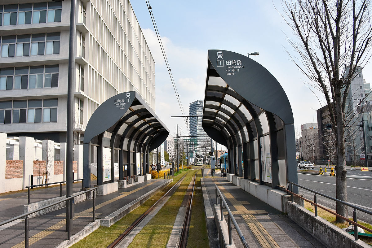
Here the railroad is interrupted.
Convenience has improved since we relocated the electric stop which was once in the center of the road.
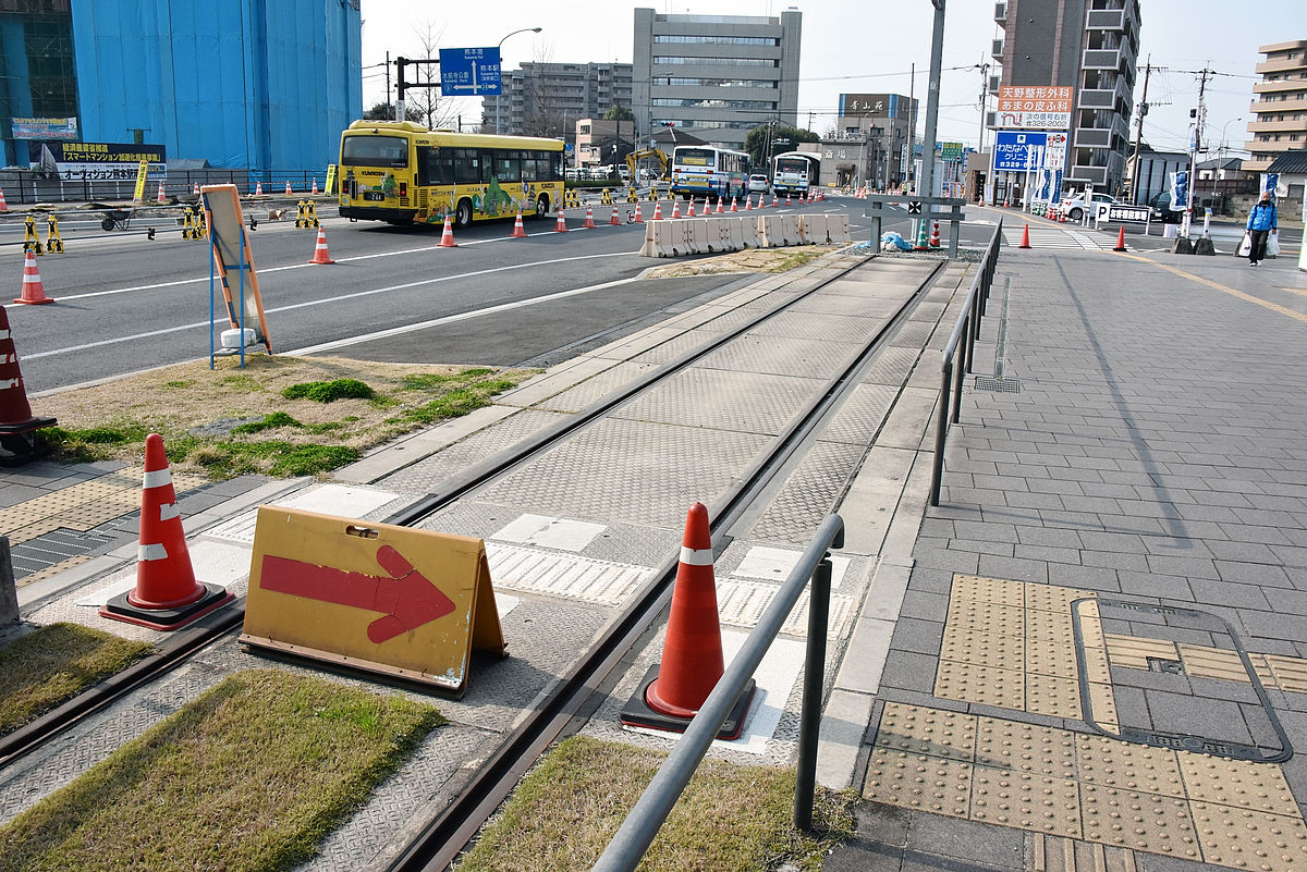
In the plan, we will extend the railway west (from the left side of the photo) from here.
Looking at Google Maps like this. Tasakihonmachi intersection is on the south side of Tsuzaki Bridge Electric Terminal and the prefectural road No. 28 runs east and west.
The prefectural highway No. 28 has become an overpass to the west like this ... ...
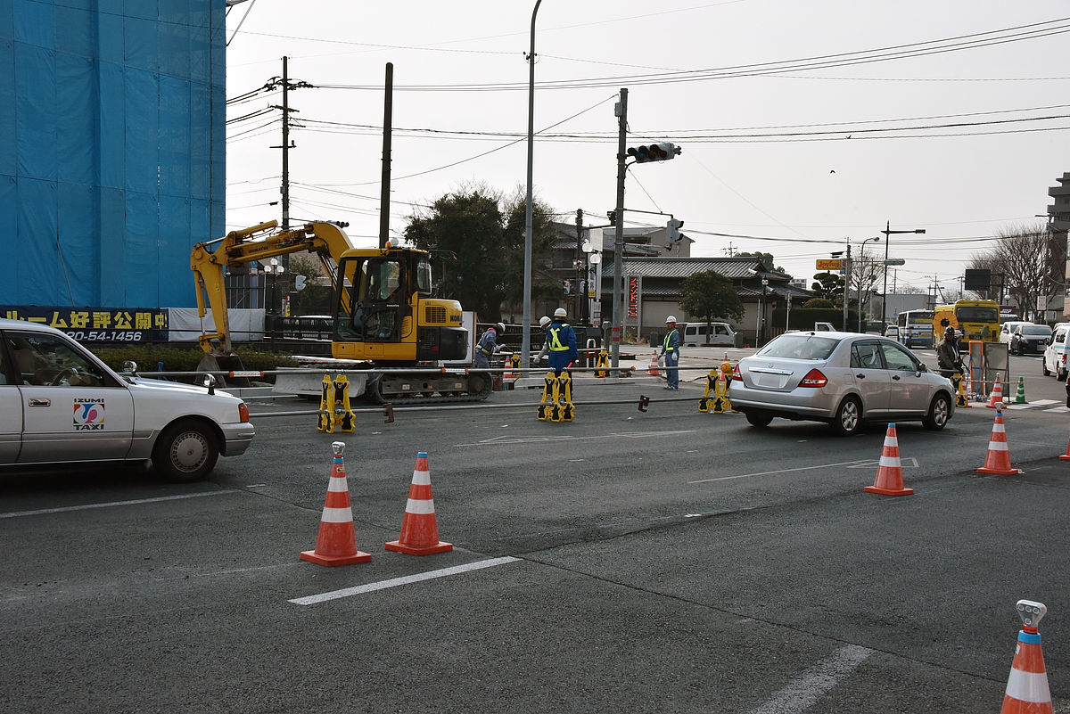
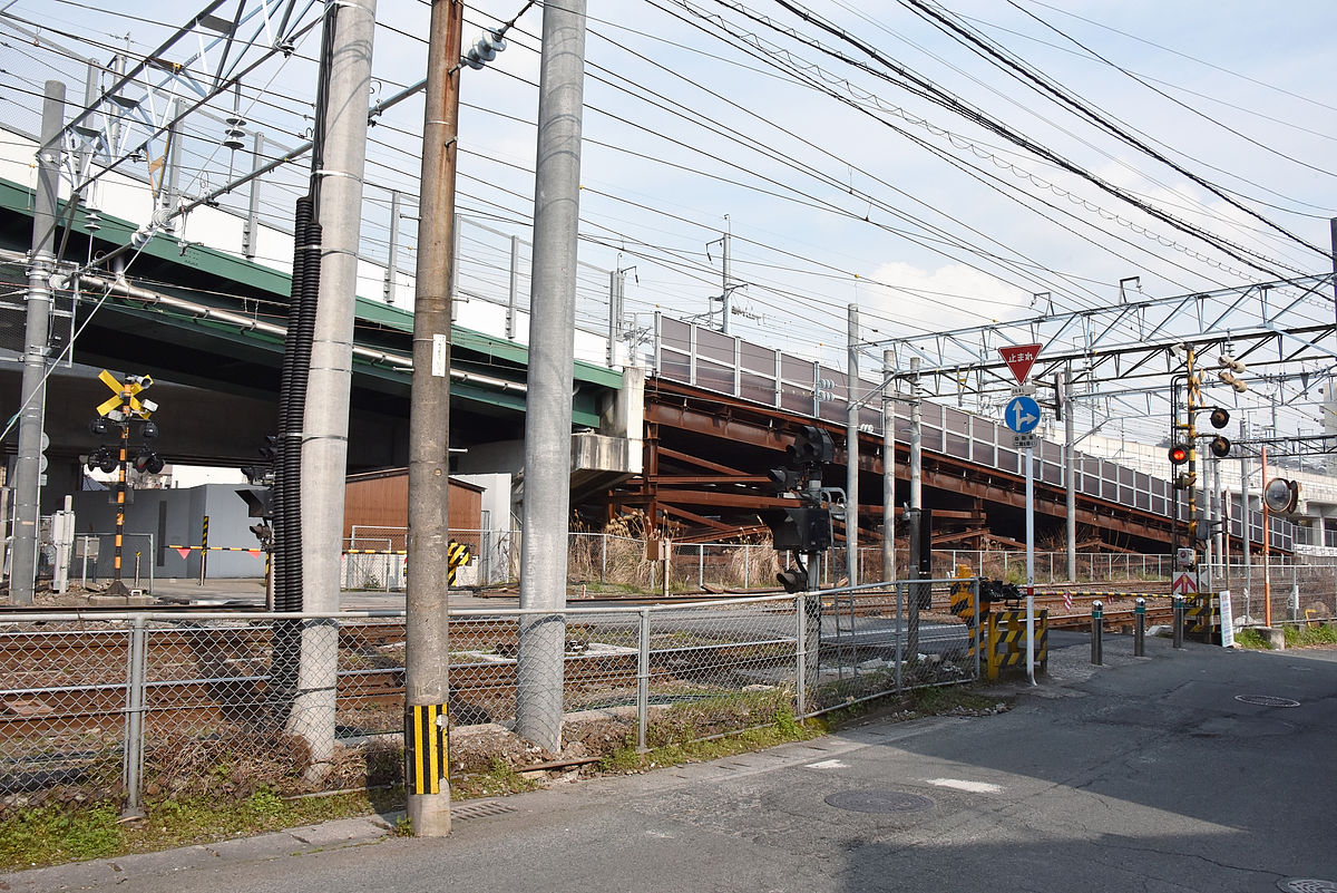
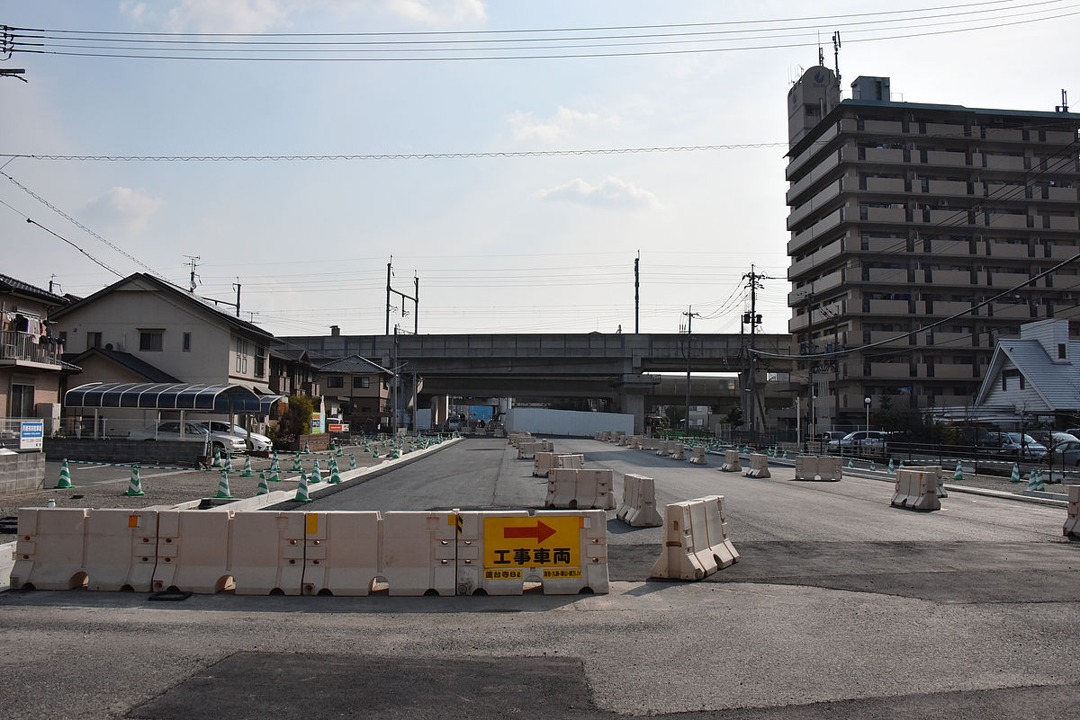
In the past it had crossed straight JR, but now it is connected to the green right curve which can be seen at the back of the picture, and it is a route to bypass around the corner.

This is due to the elevation of the Kyushu Shinkansen in front.
As a result, pedestrians can cross a railroad crossing, but the car is bypassed to the north by using the road made between the elevated Kyushu Shinkansen bullet train and the conventional line.
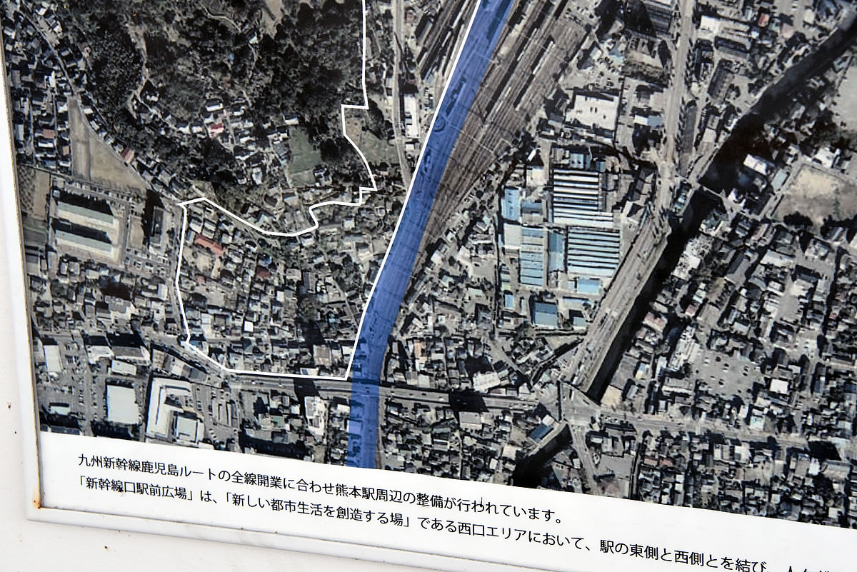
Looking at the picture showing Kumamoto station around the Kumamoto Station Shinkansen entrance, before the parking arrangement project ......
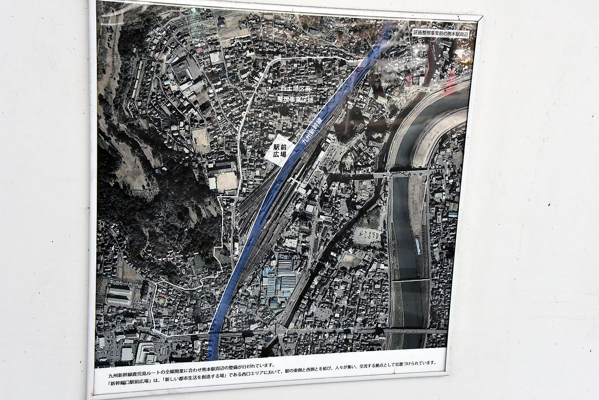
It shows the Tazaki crossover before it is disconnected yet.
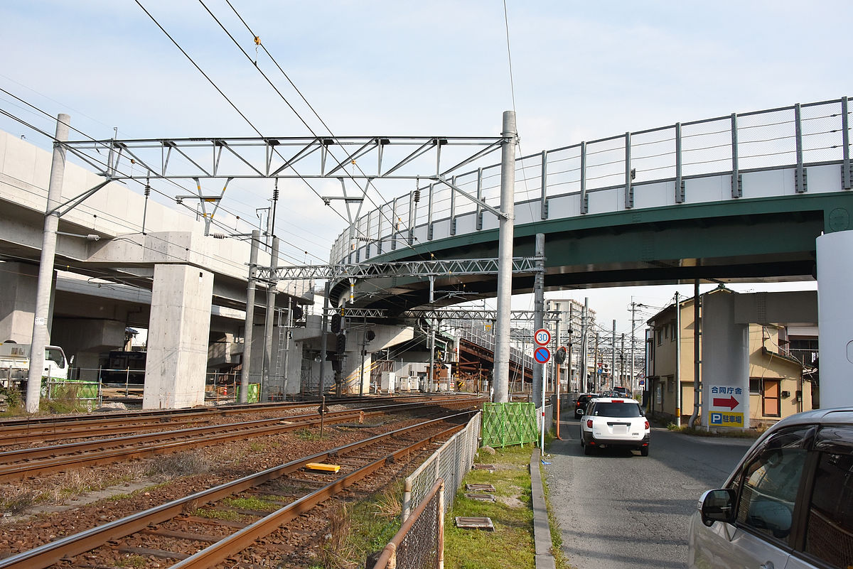
This is a view of the overpass seen from the west across JR. In the center of the photo, across the heavy machinery, we see the detour route turning to the left and the cut face of the overpass.
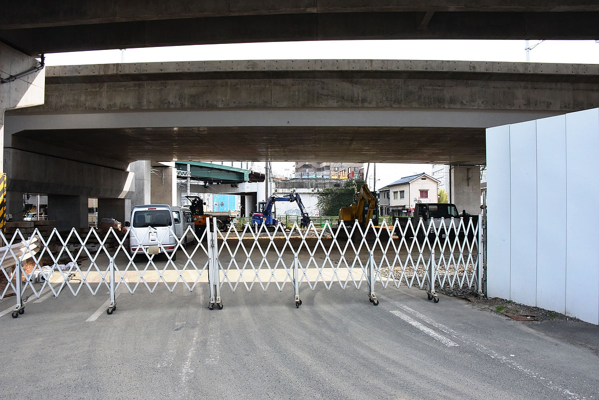
The place I drew a little more like this, already the overpass has been demolished and well-grounded.
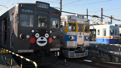
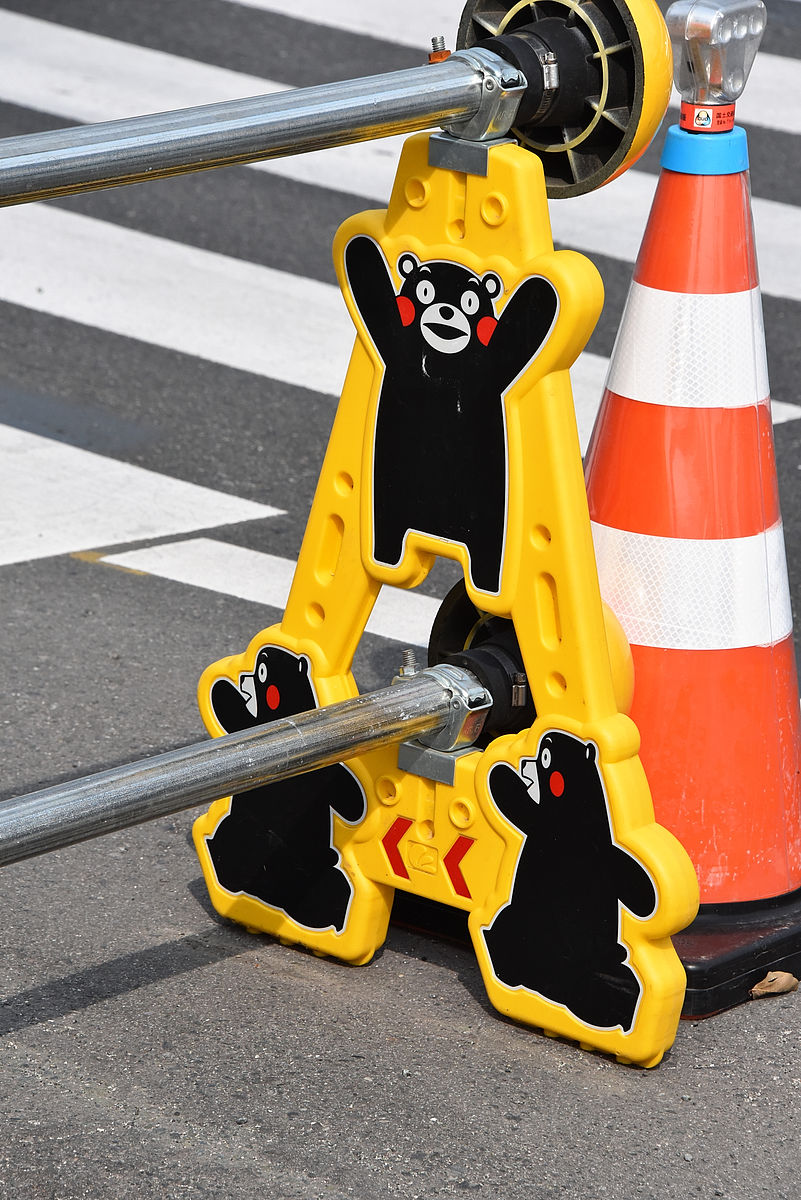
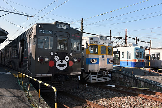
Kumamon is active here and there.
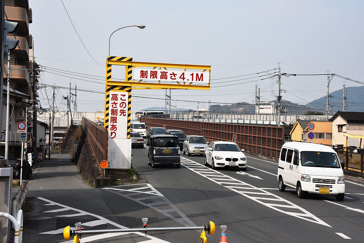
If you go west along the prefectural road like this ...

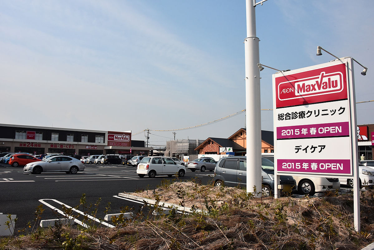
"Ion Town Tazaki"there is.
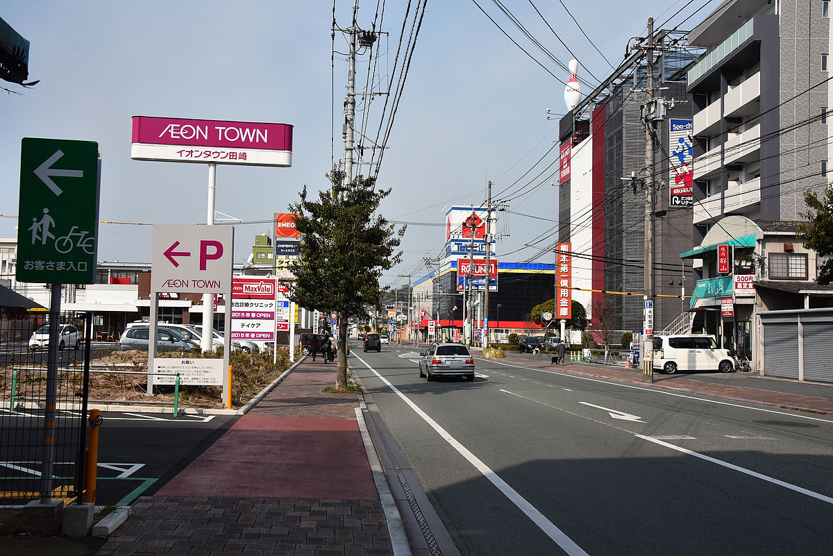
Because it is said that general clinic clinic etc is planned to open in the spring of 2015, it may be convenient if it comes to the tramp.
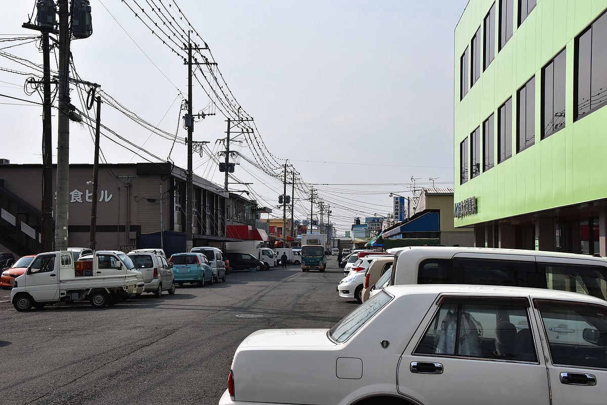
It's on the west sideKumamoto District Wholesale Market.
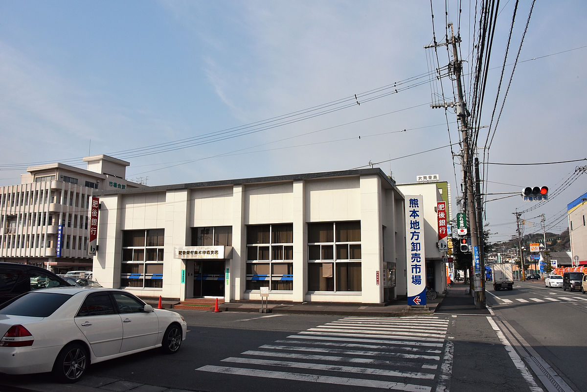
Many market users came by car.
Previously, in order to extend the street west to the west it was necessary to cross the JR running through the horizon, laying a track on the overpass or newly creating an overpass bridge for the tram,If JR gets elevated, it may reduce the cost of stretchingIt was decided to be considered again. In the future, we should destroy any remaining bridges that remained on the east side of JR, so if we do laying down the roads and laying tracks at the same time, we will be able to easily extend the stretching to where we go through the JR I will.
However, since the road decreases to two lanes on the west side there seems to be a hard time depending on how to lay the track. Also, before going down the 28 roadSoup busThere is a western garage of the western garage, so it is quite possible to secure the number, so there are doubts as to whether it is necessary to bother to take the streetcar. As a further extension candidate, I was 1 km or more south of the marketAquadome KumamotoIn addition to being named, Kumamoto Economic Association has a candidate for Kumamoto Port, which is about 8 km southwest of the market, but it is truly an impression that this is too far.
Proposal for extension to the East ◆
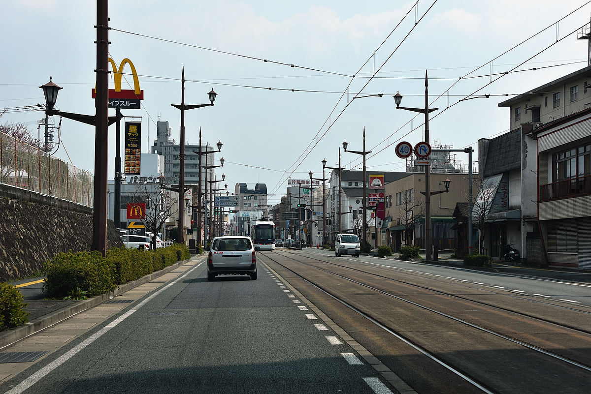
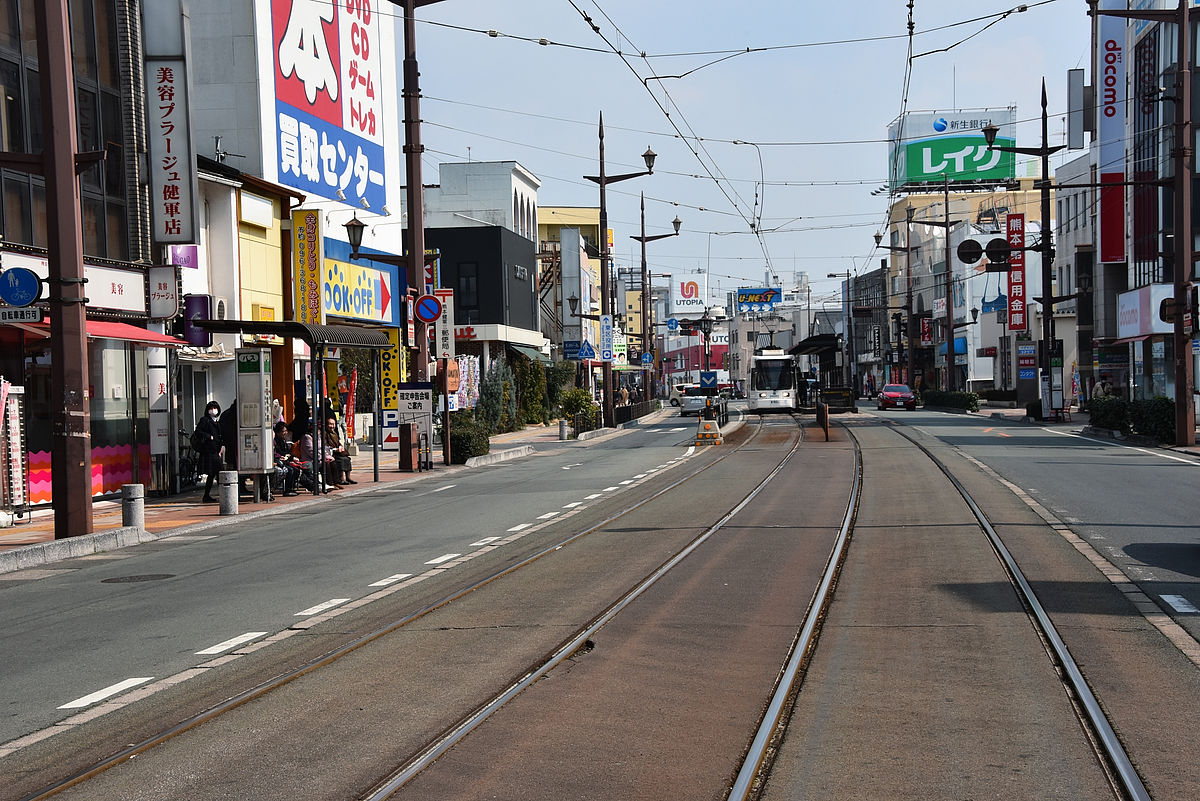
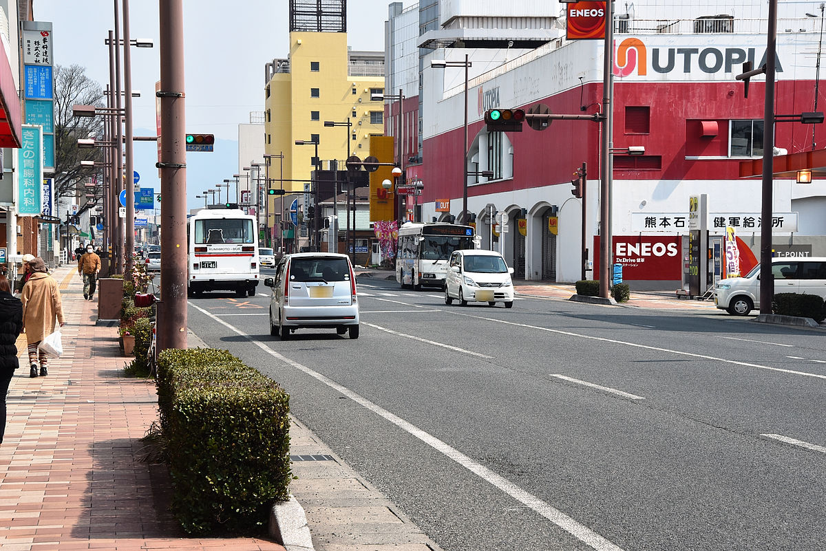
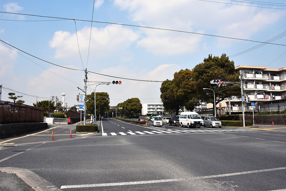
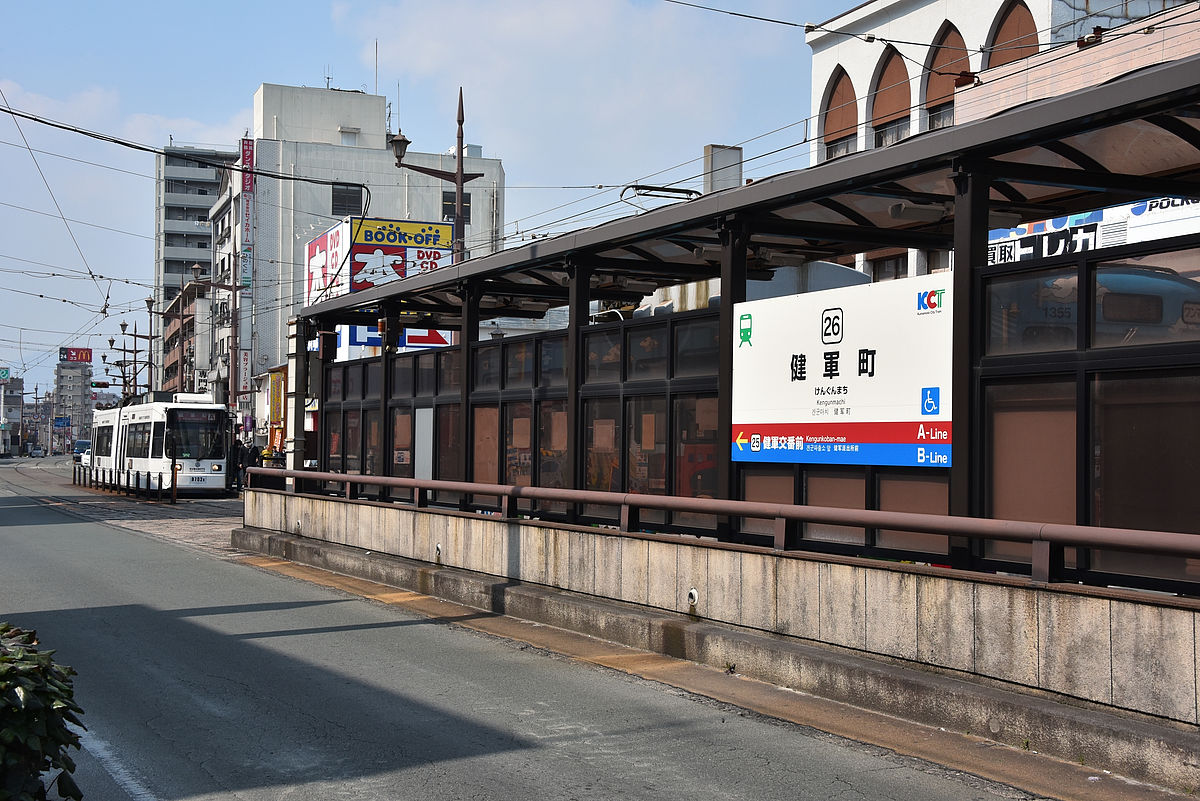
Next time I will move from Kumamoto Station to Ken Army Town. Until the Municipal Gymnasium Electric Terminal is over, the roadway has three lanes on one side, but when the prefectural government branch is divided, it decreases to one lane on one side.
As it is, I arrived at Tennen Town Den.
Like the Tazaki Bridge Electric Station, the terminal and the platform are separated, and the terminal section is a single line.
Map around the town of Kengami is like this
You can see your eyes as soon as you get offPeerless.
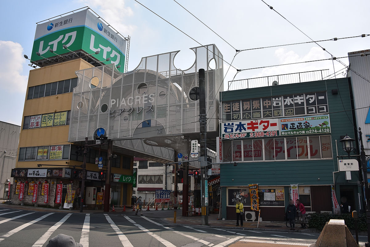
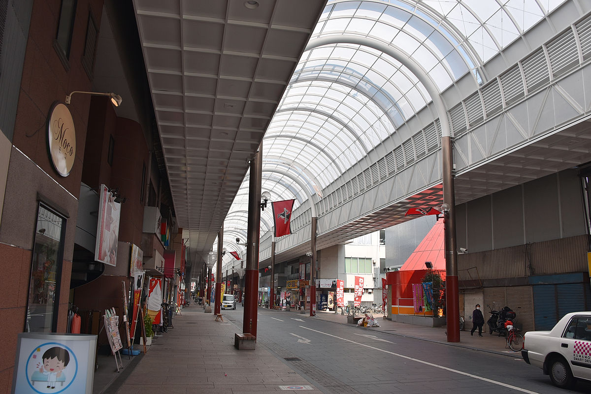
During the wartime, there was a Mitsubishi Heavy Industries' fighter aircraft factory when the trampling had not yet come so far, public housing and self defense force were created on the site of the fighting site and it became residential land. Peacres is an arcade made around 1945.
The two-lane one-way road continues at the end of the electric train, but if you extend it, you will lay the orbit by cutting the road to one lane on one side.
If it is "Self-Defense Force Route" to go north on this side, the transportation to the tax office and the Land Transport Bureau will be improved.
Since roads are also widely installed on the sidewalks and the roadway as far as the median strip, when the previous drawing was issued, lay the track by cutting the median strip and keep two lanes on one side, leaving the median strip There were two ideas of whether to make one lane on one side until the end.
On the other hand, "Numazuzu Route" going east from the town of Kenyu ... ...
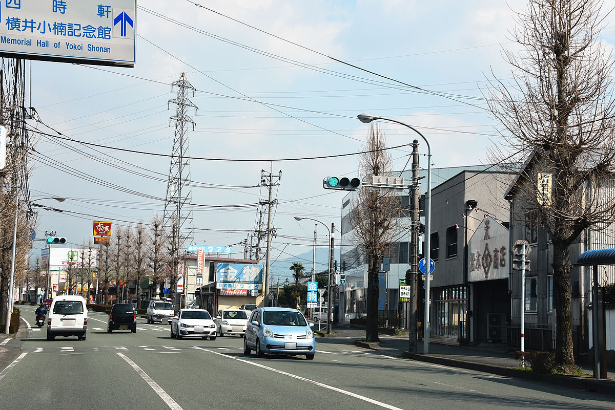
It is a plan to extend to where the road decreases from two lanes on one side to one lane on one side.
Nearby is called Ogasu Park,Yokoi OgusuThere was a park to commemorate, but this is not the place where the facility is located.
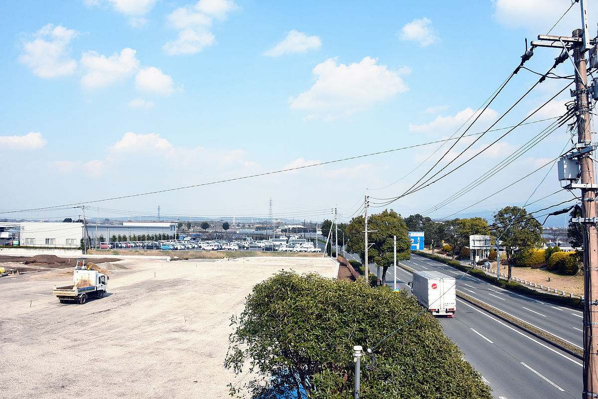
Whether it is the Self-Defense Forces route or the Numazatsu route, the extension to the east side is finallyGrand Messe Kumamoto, AndKumamoto AirportWe will aim for.
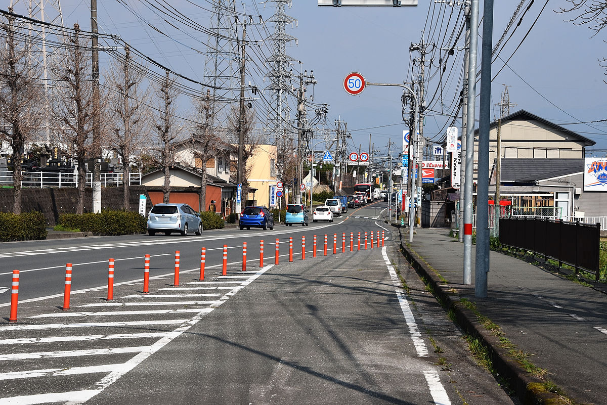
I tried out a route when I traveled by car from Tennen town to Gran Messe. Of these, if it passes through the west side of the East ward office, if you pass the "Self Defense Force Route", the west side of Sakuragi / Sakuragi Tojo (prefectural road 232), it corresponds to "Numazuzu Route".
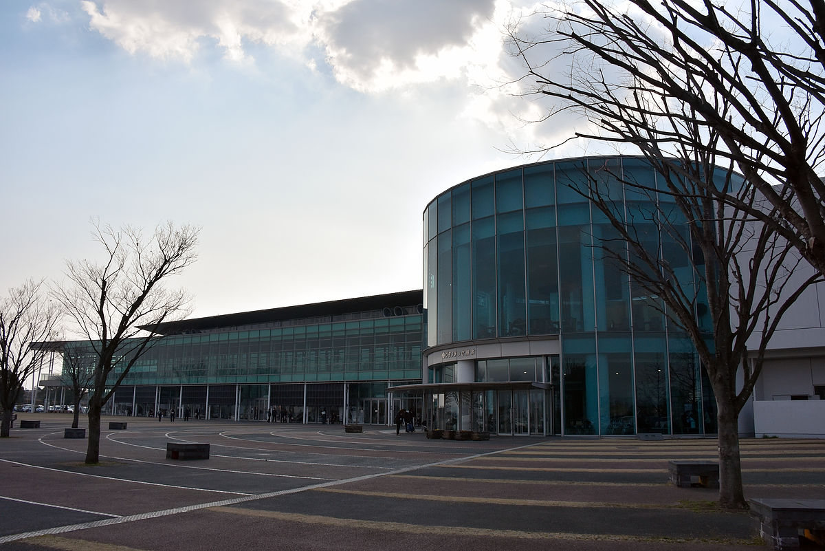
So, I went to the Grand Messe Kumamoto ... ...
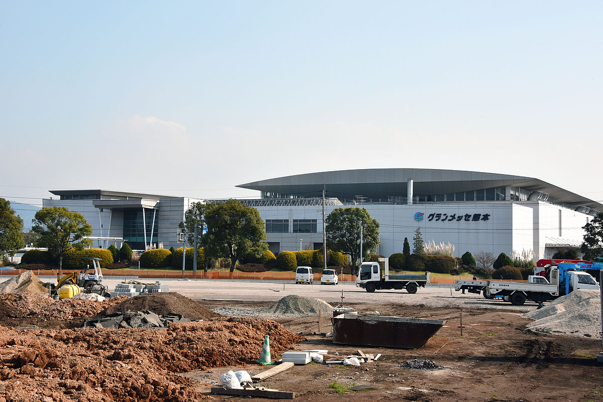
Anyway, it is the first impression that "far".
It is convenient as it is convenient because it is adjacent to the Mashiro Kumamoto Airport interchange at Kyushu Expressway. By the way this is taking the picture facing the east side, the west side is blocked by the Kyushu Expressway and I can not see far, but there are joyfuls, super sento, shopping malls.
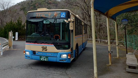
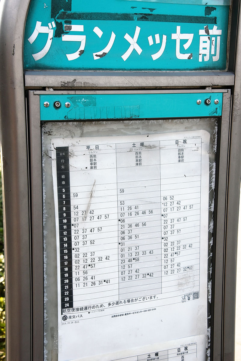
Bus diamonds are slightly uneven, but about one to twenty pace in about 20 to 30 minutes. Because it is an airport limousine bus, it takes about 40 minutes to the city. It's about 40 minutes from Kencho-cho to Kumamoto-ekima with the tramp, so speeding up is essential if you stretch it.
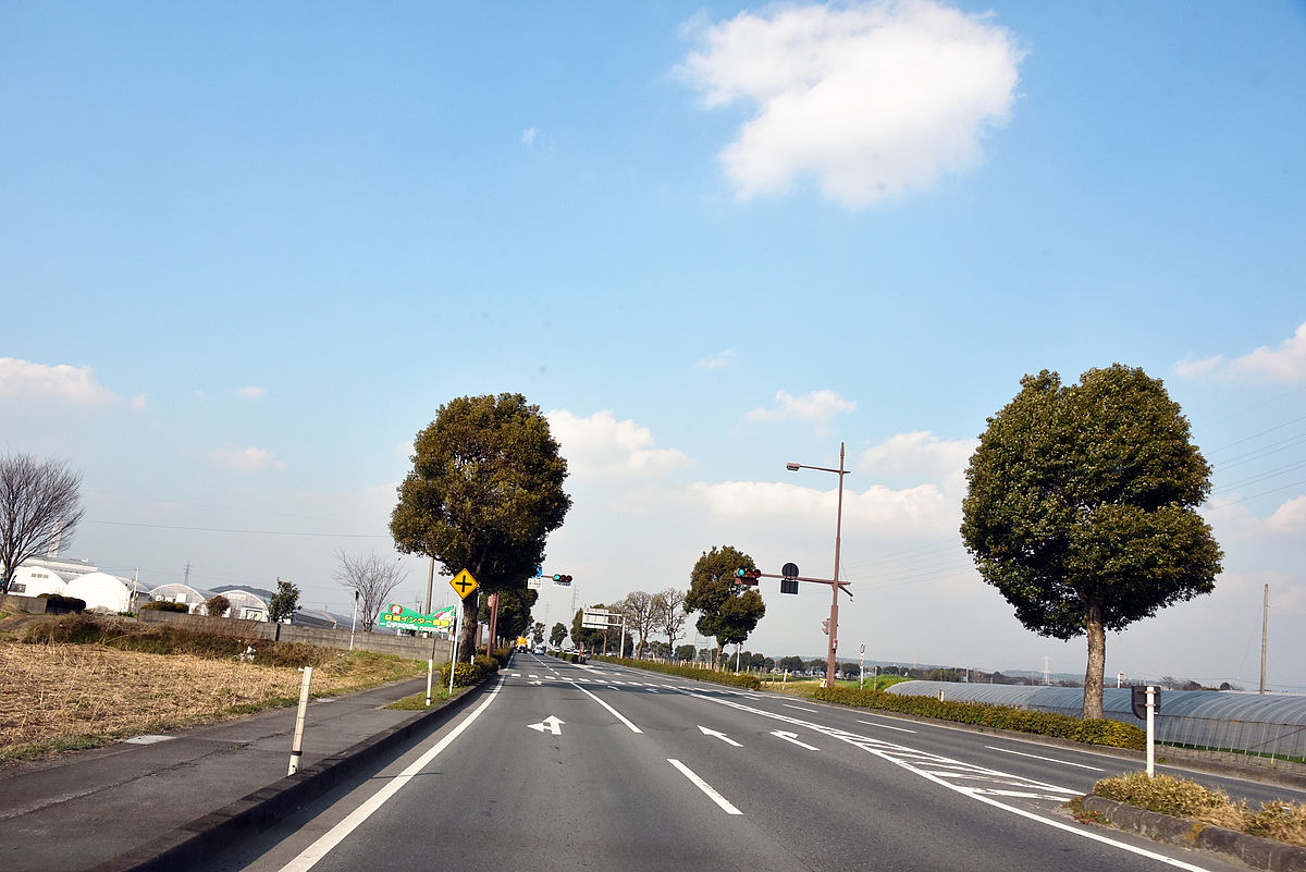
When I came to the Grand Messe, I noticed that "extending the tram to the airport" is too dreamy, but to make sure I decided to go to the airport just in case. What surprised me was that while I saw a roadside type shop from Kenyamachi to Gran Messe, nothing nearly came around as soon as I passed the Grand Messe.
Arrived at the airport without anything. There is a nickname of "Aso Kumamoto Airport".
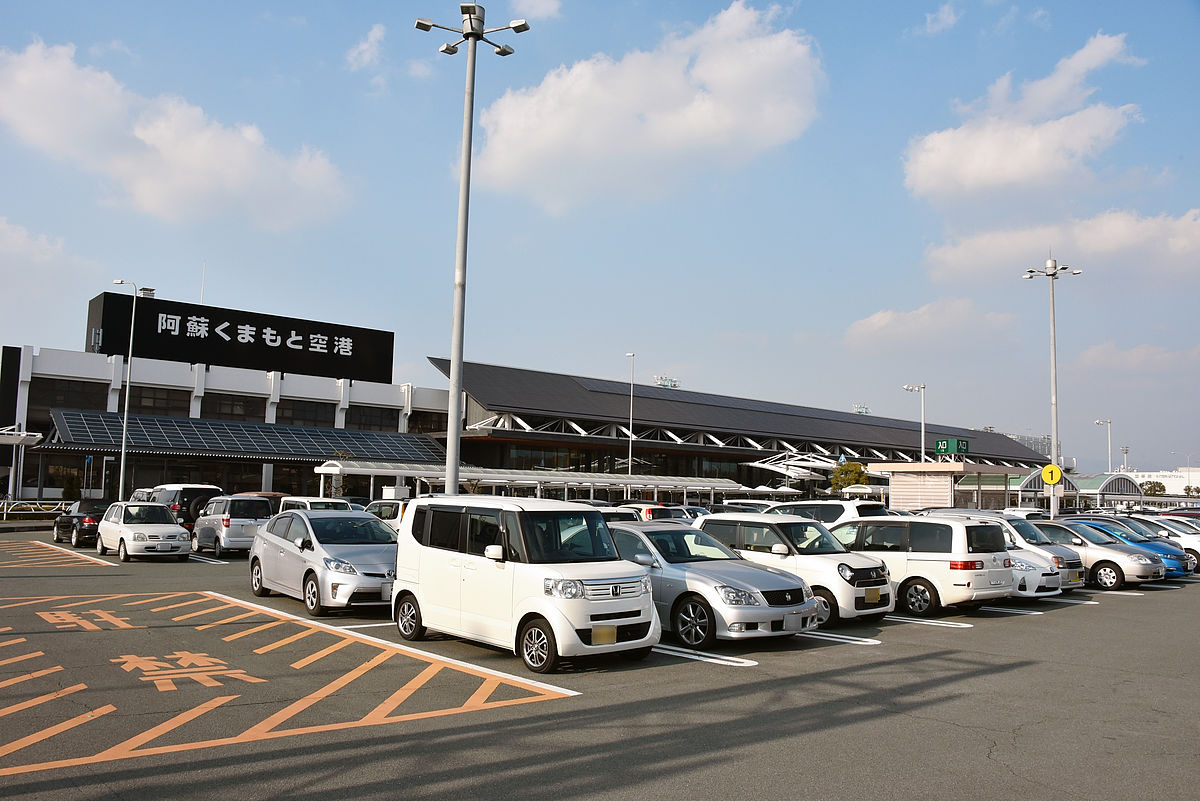
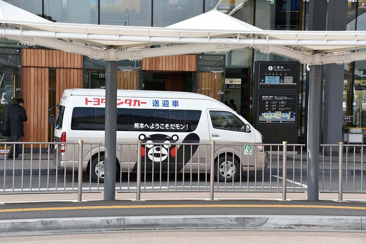
Kumamon was drawn in a car transferred to a rental car company.
The average number of landings a day on Kumamoto Airport is 54 on average and 13 th place nationwide (2013 data), passengers are about 2.99 million people a year, ranking 11th nationwide. This is the size next to Kagoshima Airport as an airport with no airport contact railway.
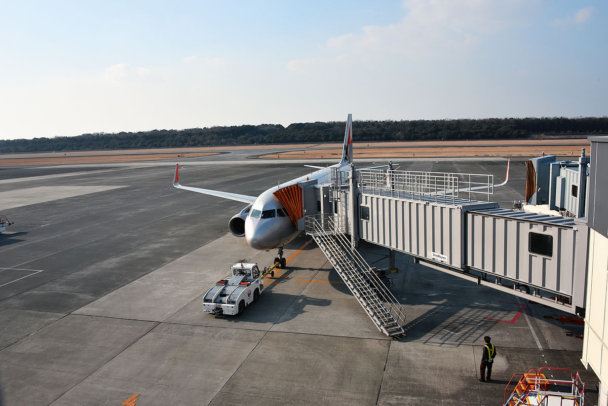
However, it is about 11 km in the straight distance from the town to the airport, which is considered as the extension source. If it is the same speed as between Kumamoto Ekimae and Kenyucho, it will take 2 hours. On the other hand, since the main means of contact is only 50 minutes (800 yen) limousine bus to Kumamoto station, it can be said that there is sufficient significance in establishing multiple means of transportation.
Continuing, although not included in this extension plan, we also looked at the improvement of the ties between the tram and Kumamoto Electric Railway at Kamikumoto Station, which has been a topic a few times ago, and about the Kumamoto Electric Railway Fujisaki Miya station area I will.
· Continued
Kumamon train runs Kumamoto When you ride the electric train I did not reach the center of Kumamoto one step - GIGAZINE
Related Posts: