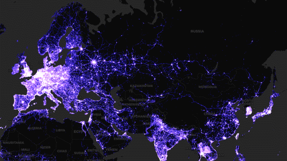
The world looks like this when the radio waves of mobile phones are visualized
Mobile phones can connect to mobile networks by using radio waves emitted by mobile base stations. In Japan, docomo, au, Softbank, etc.
MyVoucherCodes --What If You Could See Your Cellular Network?
http://www.myvouchercodes.co.uk/#cellular-network
Base stations play a role in delivering radio waves to mobile phones, and they are installed all over the world. In a cell-type base station, the area (cell) covered by the base station is a regular hexagon, and by installing multiple base stations, the area is covered so that the regular hexagon is spread. Users in this cell are assigned different frequencies (channels). The image below shows that many radio waves are flying or intersecting in space by converting the channels in this cell to perceptible colors. In addition, as more users (people with mobile phones) gather in densely populated areas, cells will be smaller in these areas than in other places.
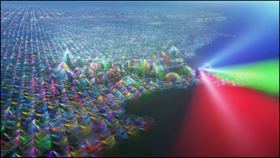
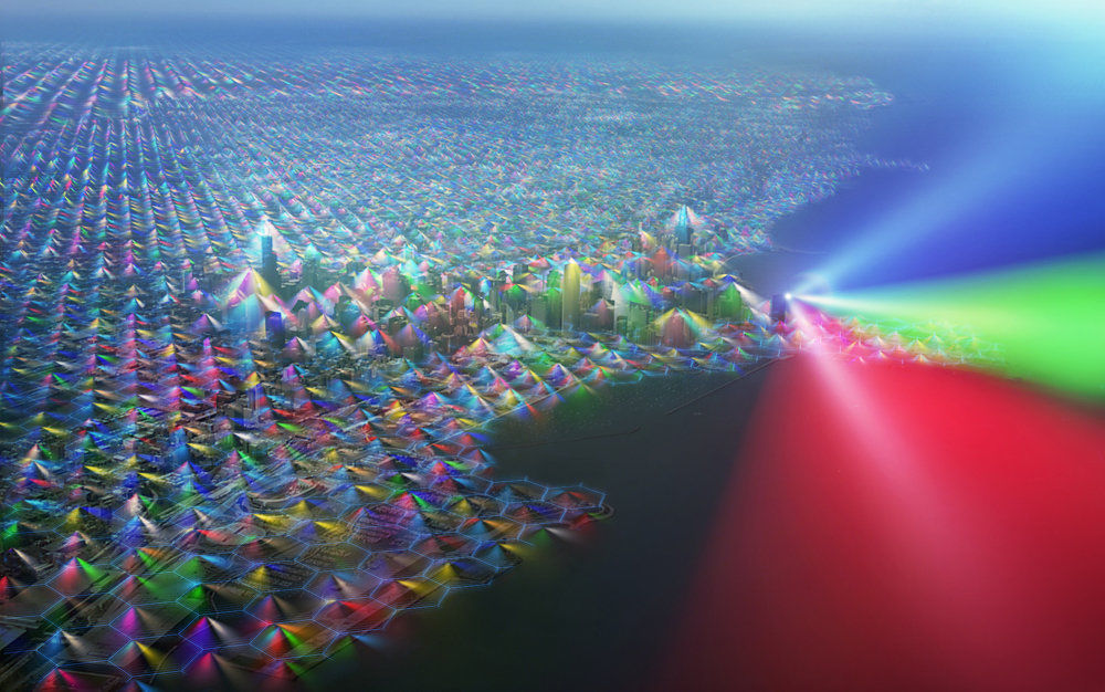
This image is a visualization of the radio waves in Chicago. Lake Michigan spreads out on the right side of the image.
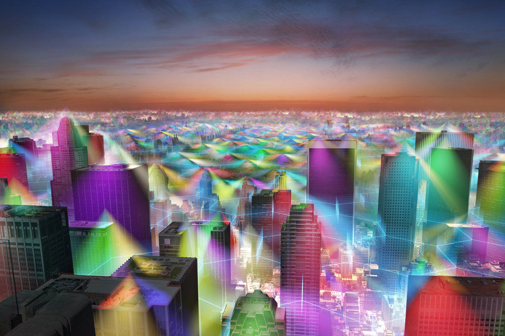
In New York City, there are many base stations on top of the building, which allows us to cover more people.
This is the Herbert C Hoover Building in Washington, DC.

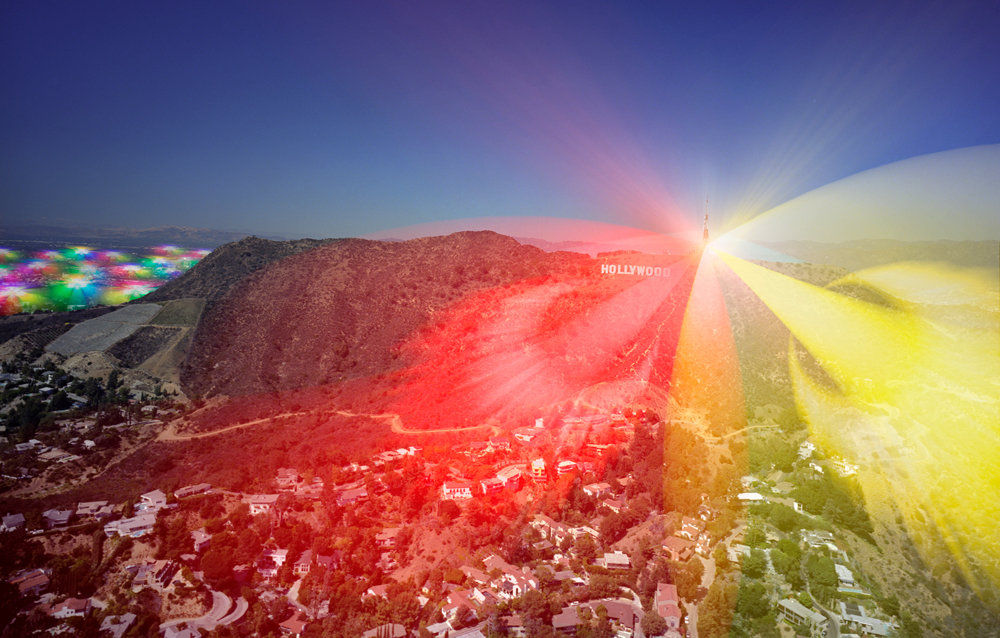
This is what Hollywood Hills looks like, and you can see that it radiates three different channels from the tower in three directions.
These images are from Dr. Marlin H. Mickle of the Swanson School of Engineering , Dr. Danielo Erricolo of the University of Illinois at Chicago , Dr. Pavel Nikitin of the University of Washington, Dr. Jung-Chih Chiao of the University of Texas Arlington , and Fran of the Southern Illinois University. It was created in collaboration with Harackiewicz and Dr. Dimitris E. Anagnostou of the South Dagota School of Minds & Technology.
Related Posts: